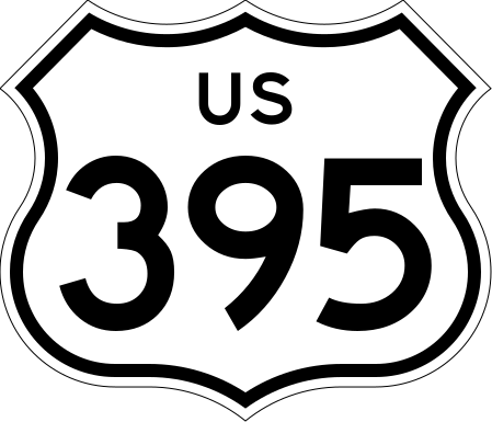
US 395 (1961 cutout)
This file is in the public domain because it comes from the California Manual on Uniform Traffic Control Devices, sign number G26-2 (CA), which states specifically in its introduction, on page 44 that:
|
 |
Relevante Bilder
Relevante Artikel
California State Route 120Die California State Route 120 ist eine in West-Ost-Richtung verlaufende State Route im US-Bundesstaat Kalifornien. Sie verbindet die Stadt Lathrop im Westen mit dem Ort Benton im Osten auf einer Länge von 246 km. .. weiterlesen
California State Route 299Der California State Route 299, kurz CA 299, läuft von West nach Ost quer durch Nordkalifornien. Er nimmt seinen Anfang bei Arcata in der Nähe des Pazifiks und führt über Redding nach Alturas und Cedarville. Etwa 14 Kilometer nach Cedarville endet die State Route an der Grenze zu Nevada, dieses letzte Straßenstück befindet sich jedoch in einem sehr schlechten Zustand. .. weiterlesen
California State Route 14Die California State Route 14 ist eine State Route im US-Bundesstaat Kalifornien, die in Nord-Süd-Richtung verläuft. .. weiterlesen
British Columbia Highway 395Im Süden von British Columbia befindet sich der British Columbia Highway 395 Er stellt eine kurze Verbindung mit einer Länge von 4 km zwischen der Grenze zwischen Kanada und den Vereinigten Staaten bei Laurier und dem Highway 3, dem Crowsnest Highway, bei Cascade dar. Die Nummerierung rührt vom U.S. Highway 395 her, dessen Verlängerung diese Route darstellt. .. weiterlesen


