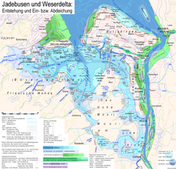
OldenburgerDeiche um1645+Lockfleth um1515
Autor/Urheber:
Shortlink:
Quelle:
Größe:
1896 x 1708 Pixel (2487148 Bytes)
Beschreibung:
map of some of the dikes of the County of Oldenburg, drawn at about 1643–1645. Ordinary dikes on the coast and on the bank of Weser river are not marked, but recent losses of land are shown, All Islands in Jadebusen are omitted, including Oberahnesche Felder, which were measured almost at the same time, perhaps shortly afterwerds.
Lizenz:
Public domain
Credit:
Landesarchiv Oldenburg, Bestand 289 Z (maps) Nr. 272
Relevante Bilder
Relevante Artikel
LockflethLockfleth wird heute ein Zuggraben in der Wesermarsch genannt, der in nord-südlicher Richtung vom Strohauser Sieltief zum Schmalenflether Sieltief verläuft. .. weiterlesen

