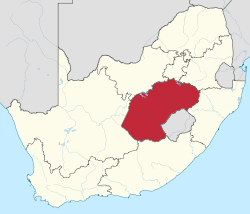
Free State 2001 dominant language map
Autor/Urheber:
Shortlink:
Quelle:
Größe:
1095 x 913 Pixel (1511331 Bytes)
Beschreibung:
Map showing the dominant home languages in the Free State province of South Africa, according to Census 2001 at the "Subplace" level. In this context, a language is dominant if it more than 50% of the population in an area speak it at home, or more than 33% speak it and no other language is spoken by more than 25%.
Afrikaans
English
isiXhosa
isiZulu
Sesotho
Setswana
No language dominant
Lizenz:
Public domain
Credit:
Statistics South Africa's Census 2001 is the source of the basic population data. The map results from my own processing of the data.
Relevante Bilder
Relevante Artikel
Freistaat (Provinz)Freistaat ist eine südafrikanische Provinz in der Mitte der Republik. Sie ist aufgeteilt in vier Distrikte mit 18 Gemeinden und einer Metropolgemeinde. .. weiterlesen


