Wilmington North Carolina port aerial view
Autor/Urheber:
Bud Davis, U.S. Army Corps of Engineers
Shortlink:
Quelle:
Größe:
1500 x 1001 Pixel (602681 Bytes)
Beschreibung:
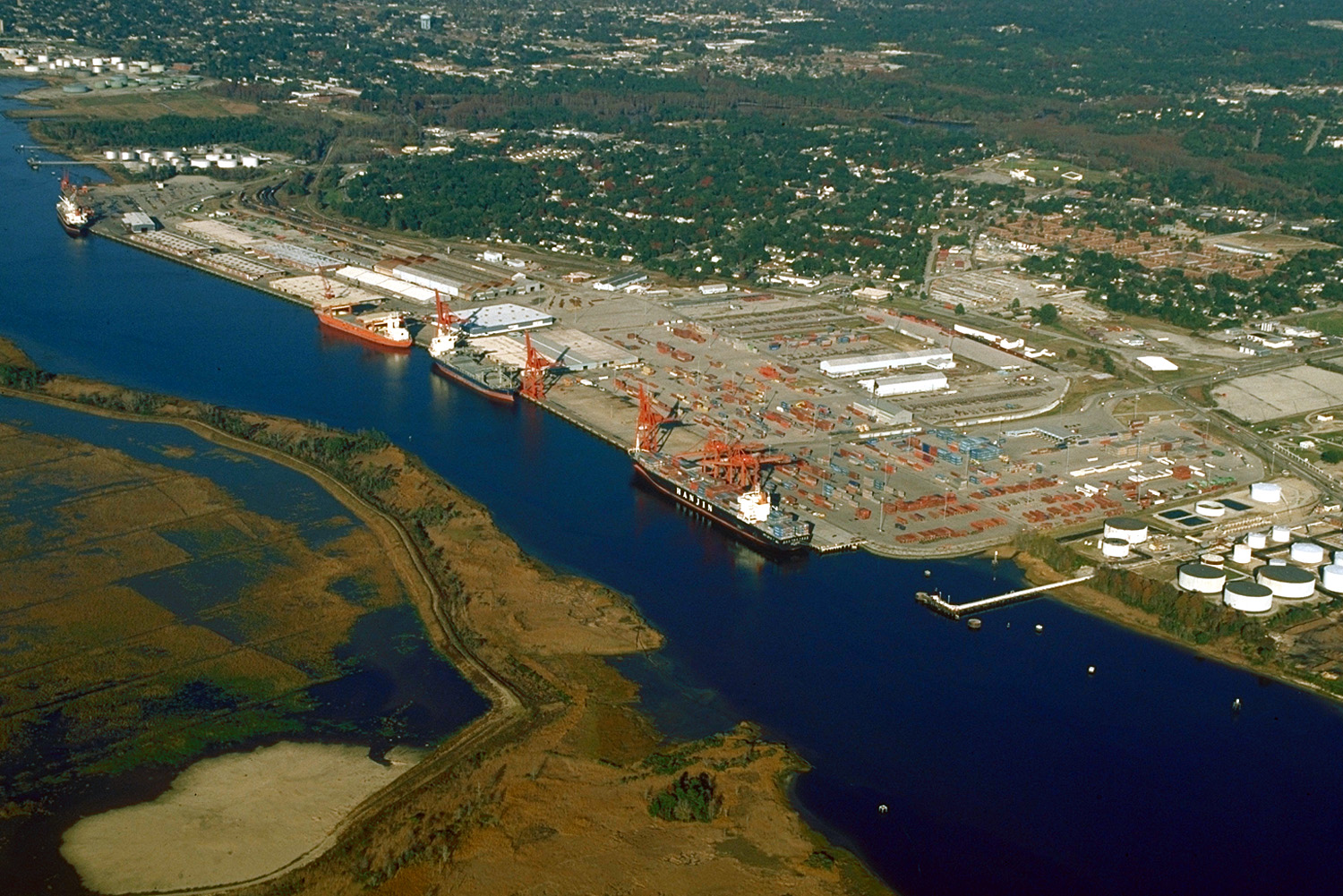
Aerial view of the port and city of Wilmington, North Carolina, USA. The port facility is located on the estuary of the Cape Fear River. View is upriver to the north. In this photograph the tide is apparently flowing in quite strongly.
Kommentar zur Lizenz:
This image or file is a work of a U.S. Army Corps of Engineers soldier or employee, taken or made as part of that person's official duties. As a work of the U.S. federal government, the image is in the public domain.
Lizenz:
Public domain
Credit:
U.S. Army Corps of Engineers Digital Visual Library
Image page
Image description page
Digital Visual Library home page
Image page
Image description page
Digital Visual Library home page
Bild teilen:


Relevante Bilder


Relevante Artikel
Cape Fear RiverDer Cape Fear River ist ein 325 km langer Schwarzwasserfluss im zentralen Osten von North Carolina in den Vereinigten Staaten. Er mündet am Cape Fear in den Atlantischen Ozean, was dem Fluss seinen Namen gibt. Notropis mekistocholas ist eine endemische Fischart seines Einzugsgebietes. .. weiterlesen