USGS Kīlauea multimediaFile-2078
Autor/Urheber:
Shortlink:
Quelle:
Größe:
6000 x 4000 Pixel (5121219 Bytes)
Beschreibung:
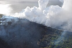
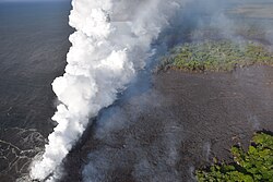
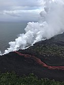
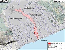
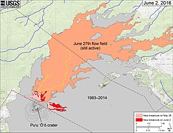
Ocean entry photograph from Civil Air Patrol (CAP) overflight taken at about 12:50PM. CAP operates to support the mission of both the USGS HVO and the Hawaii County Civil Defense. Hard to discern here, but there are two entries. The coastal area spanning the entry is about 1 km (0.6 mi) wide with an about 250 m (0.15 mi) Kīpuka separating the two.
Lizenz:
Public domain
Relevante Bilder
Relevante Artikel
Puʻu ʻŌʻōDer Puʻu ʻŌʻō ist ein 698 m hoher Schlacken- und Schweißschlackenkegel in der östlichen Riftzone des Kīlauea-Vulkans auf der größten Hawaii-Insel Big Island. Der Kegel entstand im Zuge der Puʻu-ʻŌʻō-Kūpaianaha-Eruption, die am 3. Januar 1983 begann und 2018 endete. .. weiterlesen


