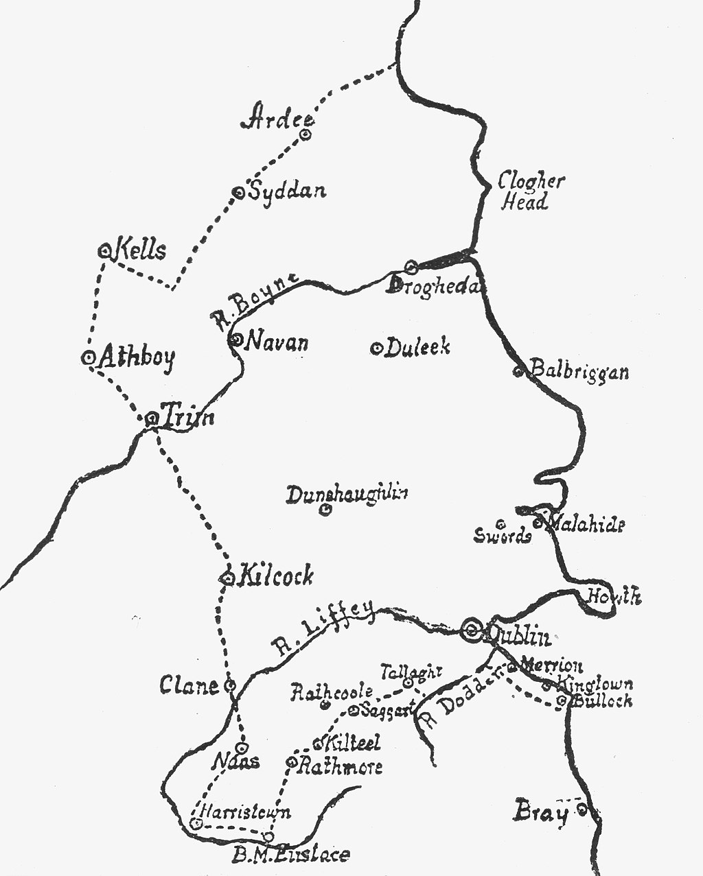
The Pale According to the Statute of 1488 edit
Autor/Urheber:
Weston St. John Joyce
Shortlink:
Quelle:
Größe:
2018 x 2517 Pixel (843240 Bytes)
Beschreibung:
The Pale, or the English Pale, according to the Statute of 1488. A map of that area of Ireland commonly known as the Pale which, by the the 15th century, was under effective English colonial rule.
Lizenz:
Public domain
Credit:
Weston St. John Joyce (1858-1939), 'The Neighbourhood of Dublin' (Dublin, 1921) & File:The Pale According to the Statute of 1488.jpg
Relevante Bilder
Relevante Artikel
Pale (Irland)Als the Pale oder the English Pale wurde zunächst der gesamte Besitz normannischer Herrscher an Irlands Ostküste bezeichnet. Das Gebiet beinhaltete beispielsweise Ländereien in den Countys Dublin, Meath, Louth und Kildare, erstreckte sich im späteren Mittelalter jedoch nur noch auf das Gebiet um die Stadt Dublin. .. weiterlesen

