Survey of Western Palestine 1880.11
Photozincographed and Printed for the Committee ...at the Ordnance Survey Office Southampton.
Note I: Marked as copyrighted by Jewish National & University Library, which is not grounded.
Note II: This is a collection 72dpi images. For the map in higher resolution, check either David Rumsey Map Collection, Israel Antiquities Authority, The Digital Archaeological Atlas of the Holy Land, Amud Anan (Hebrew), or a CD from BiblePlaces.Relevante Bilder
Relevante Artikel
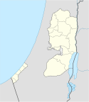
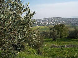
MisilyahMisilyah ist ein palästinensisches Dorf im nördlichen Westjordanland, das 14 Kilometer südlich der Stadt Dschenin liegt. Nach Angaben des Palästinensischen Zentralbüros für Statistik hatte das Dorf Mitte des Jahres 2006 eine Bevölkerung von 2252 Einwohnern. Die wichtigsten landwirtschaftlichen Produkte von Misilya sind Oliven, Trauben, Feigen und Gemüse. Im Dorf wurden römische, byzantinische, ägyptische und islamische Ruinen gefunden. .. weiterlesen


