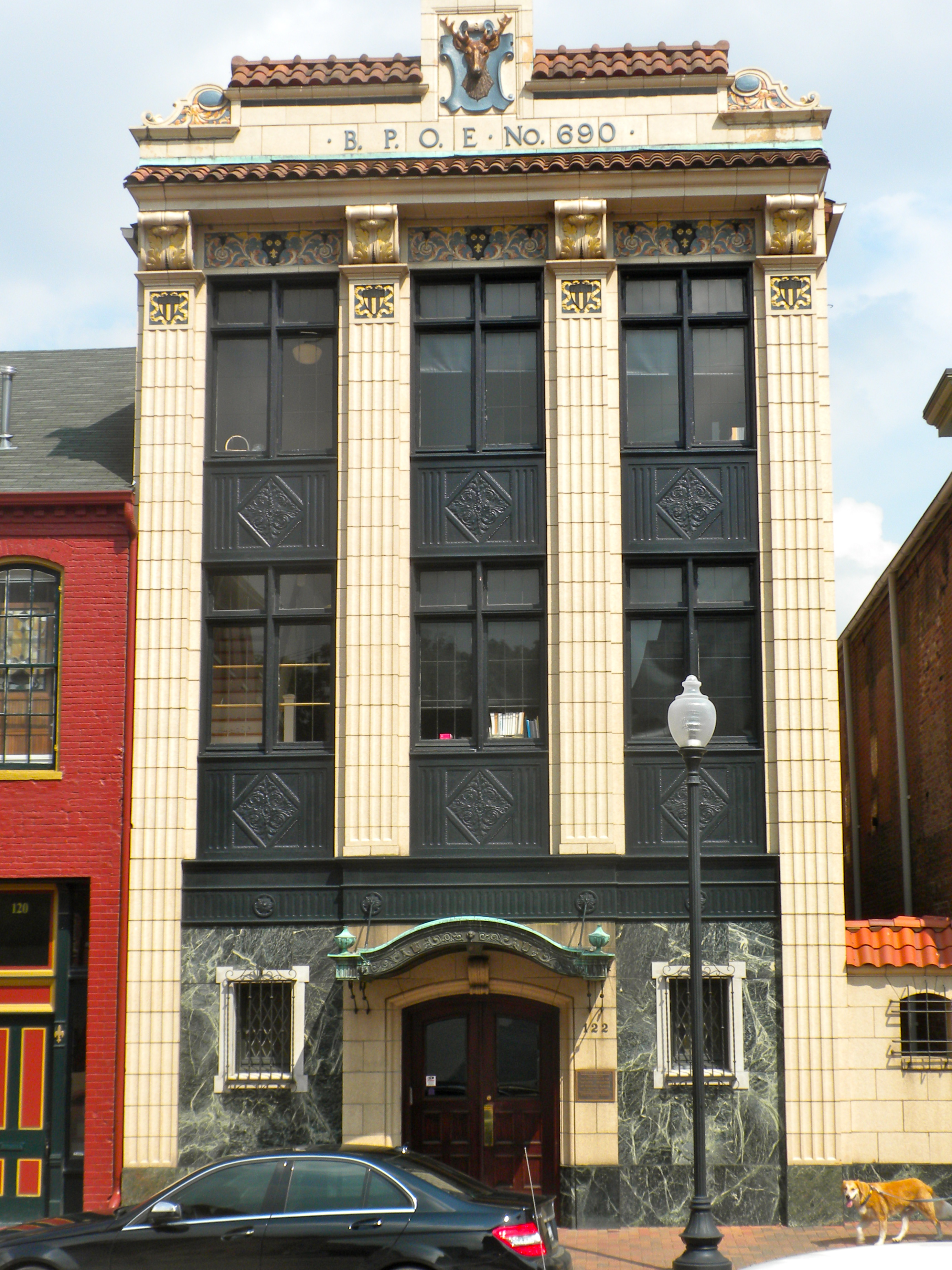
St Charles MO BPOE
Autor/Urheber:
Shortlink:
Quelle:
Größe:
2767 x 3689 Pixel (3359645 Bytes)
Beschreibung:
St. Charles, Missouri BPOE (Elks Club) at 122 S. Main. This is part of the St. Charles Historic District, on the NRHP since September 22, 1970. The boundaries are as messy as any HD on the NRHP, but it basically goes from Adams Street in the north to Chauncey - Boone's Lick Rd in the south, along the Missouri River for about 1.5 miles, and inland to 2nd Street, including Main Street.
Official boundaries are roughly bounded by the Missouri River and Madison, Chauncey, and 2nd Sts.; also 1000 S. Main St.; also bounded by Madison, 2nd, Jefferson, and the alley behind the 100 block of S. Main St.; also the 100, 200, and 300 blocks of N. Main St., in St. Charles Second, third, and fourth sets of boundaries represent boundary increases of June 4, 1987, May 1, 1991, and October 10, 1996 respectively
Lizenz:
Public domain
Bild teilen:


Relevante Bilder


.jpg)


Relevante Artikel
Liste der Einträge im National Register of Historic Places im St. Charles CountyDie Liste der Einträge im National Register of Historic Places im St. Charles County in Missouri führt alle 30 Bauwerke und historischen Stätten im St. Charles County auf, die in das National Register of Historic Places aufgenommen wurden. .. weiterlesen