StLuciaWetland L7 07may01
Autor/Urheber:
Jesse Allen, NASA Earth Observatory, using Landsat and GIS data obtained from the University of Maryland’s Global Land Cover Facility.
Shortlink:
Quelle:
Größe:
540 x 540 Pixel (104600 Bytes)
Beschreibung:
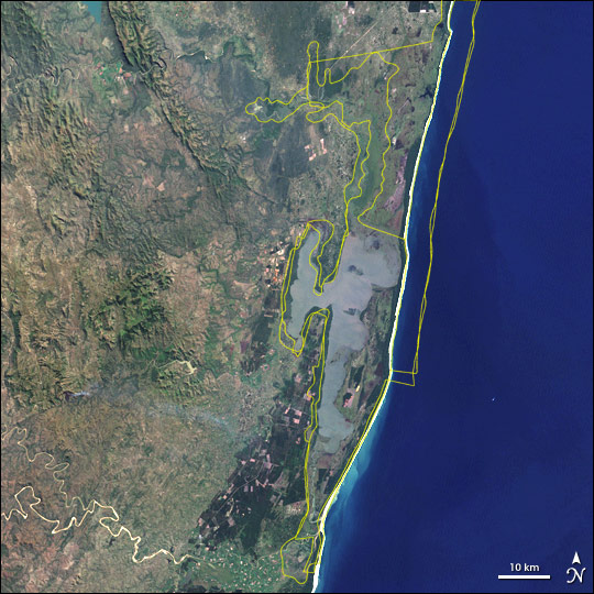
Satellite image of w:Greater St. Lucia Wetland Park, South Africa. Borders of the various conservation areas in the park are outlined in yellow.
Lizenz:
Public domain
Bild teilen:


Relevante Bilder

.jpg)
.jpg)
_in_flight.jpg)


Relevante Artikel
ISimangaliso-Wetland-ParkDer iSimangaliso Wetland Park ist ein Schutzgebiet an der Ostküste der südafrikanischen Provinz KwaZulu-Natal. Mit einer Fläche von 1.328.901 ha ist er das zweitgrößte Schutzgebiet Südafrikas nach dem Kruger-Nationalpark. .. weiterlesen