South Hadley Canal (Massachusetts) map
Autor/Urheber:
H. F. Walling and Ormando Willis Gray.
Shortlink:
Quelle:
Größe:
551 x 620 Pixel (124307 Bytes)
Beschreibung:
Map of South Hadley Canal and environs, South Hadley, Massachusetts, USA.
Kommentar zur Lizenz:
Public domain - author died more than 70 years ago.
Lizenz:
Public domain
Credit:
H. F. Walling and Ormando Willis Gray, "Official topographic atlas of Massachusetts", page 46, Boston : Stedman, Brown, & Lyon, 1871. This image has been cropped to remove extraneous terrain.
Relevante Bilder
Relevante Artikel
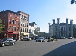
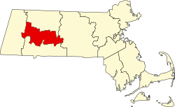
Liste der Einträge im National Register of Historic Places im Hampshire County (Massachusetts)Die Liste der Einträge im National Register of Historic Places im Hampshire County in Massachusetts führt alle Bauwerke, National Historic Landmarks und historischen Stätten im Hampshire County auf, die in das National Register of Historic Places aufgenommen wurden. .. weiterlesen

