Satellite image of Sør Rondane Mountains, Antarctica (21231177820) (cropped)
_(cropped).jpg?uselang=de)
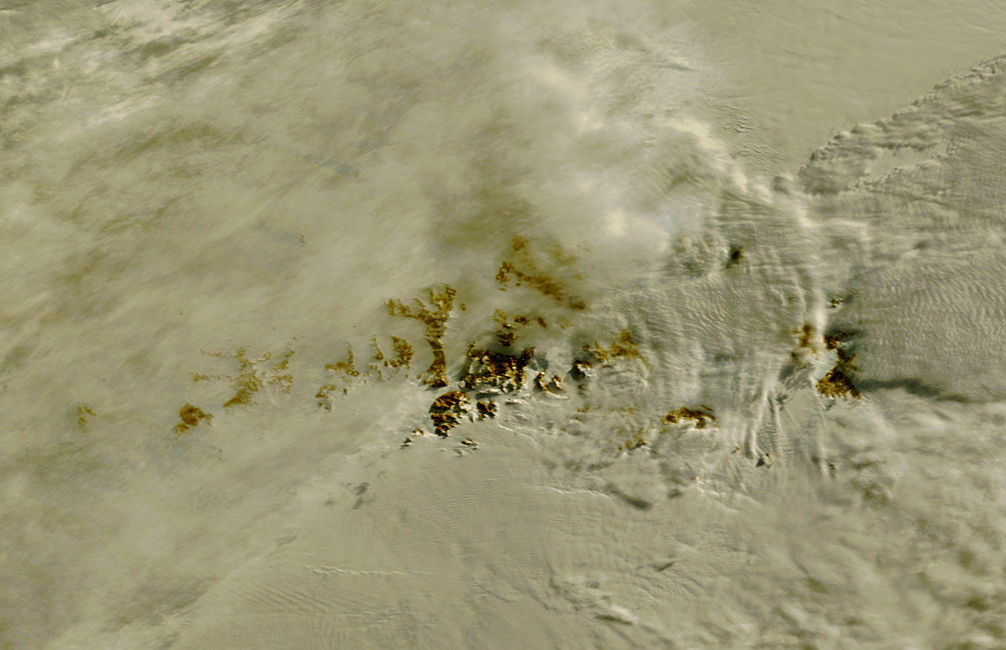
On September 13 at 07:10 UTC (3:10 a.m. EDT) the Moderate Resolution Imaging Spectroradiometer or MODIS instrument aboard NASA's Terra satellite captured the sunlight and shadows over ice over Princess Ragnhild Coast, Antarctica during the partial solar eclipse. Sunlight can be seen over the Antarctic while the Southern Ocean (top) is darkened. The Princess Ragnhild Coast is part of the Queen Maud Land coast.
Image Credit: NASA Goddard MODIS Rapid Response Team/Jeff Schmaltz
Text: NASA Goddard Space Flight Center/Rob Gutro
NASA Goddard Space Flight Center enables NASA’s mission through four scientific endeavors: Earth Science, Heliophysics, Solar System Exploration, and Astrophysics. Goddard plays a leading role in NASA’s accomplishments by contributing compelling scientific knowledge to advance the Agency’s mission.
Follow us on Twitter
Like us on Facebook
Find us on Instagram


Relevante Bilder

Relevante Artikel
Sør RondaneSør Rondane ist ein Gebirge von bis zu 3400 m Höhe im ostantarktischen Königin-Maud-Land. Es erstreckt sich über eine Länge von 160 km zwischen dem Königin-Fabiola-Gebirge und dem Wohlthatmassiv. .. weiterlesen