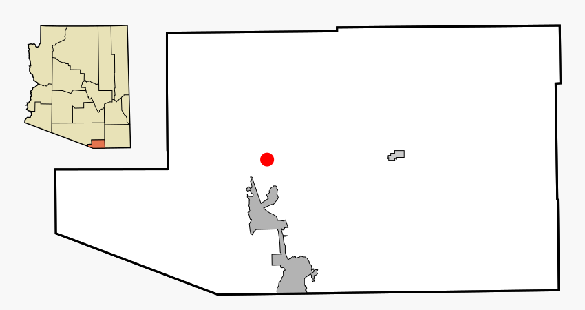
Santa Cruz County Incorporated and Unincorporated areas Rio Rico Northeast highlighted
Autor/Urheber:
Shortlink:
Quelle:
Größe:
850 x 450 Pixel (42963 Bytes)
Beschreibung:
This map shows the incorporated areas and unincorporated areas in Santa Cruz County, Arizona. Rio Rico Northeast is highlighted in red. Incorporated cities are shown in gray and unincorporated communities or CDPs are shown in white. Data for the borders and locations are based on files from the SouthEastern Arizona Governments Organization HPMS Maps and Records and maps from the US Census Bureau TIGER Map Server. I created this map in Inkscape.
Kommentar zur Lizenz:
All rights not reserved. See below.
Lizenz:
Public domain
Credit:
My own work, based on public domain information
Relevante Artikel
Rio Rico NortheastRio Rico Northeast ist ein gemeindefreies Gebiet im Santa Cruz County im Süden des US-Bundesstaates Arizona. Die Siedlung liegt an der Interstate 19. .. weiterlesen
