ROC vs PRC
- Grey lines are political boundaries drawn by the PRC. The formal names of these political entities are in black text.
- Red lines are political boundaries drawn by the ROC between 1953[1] and 2002[2]. The formal names of these political entities are in red text.
- Areas between red and grey lines (international boundaries) represent the territories claimed by the ROC before 2002 but not the PRC.
Adapted from File:ROC PRC comparison eng.jpg. The original ROC map included more cities, but the adaptation removed non-central municipalities to clean up the image. Therefore, this image contains:
Republic of China
- 35 provinces
- 12 Mainland municipalities + 6 Taiwanese municipalities
- 2 areas (Mongolia and Tibet)
- 1 special administrative region (Hainan)
People's Republic of China
- 23 provinces
- 4 municipalities
- 5 autonomous regions
- 2 special administrative regions (Hong Kong and Macau)
Relevante Bilder
Relevante Artikel
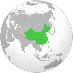
Verwaltungsgliederung der Republik ChinaDas von der 1912 auf dem chinesischen Festland gegründeten Republik China kontrollierte Staatsgebiet beschränkt sich seit 1949 auf die Insel Taiwan und eine Reihe kleinerer Inseln. Dieses Territorium wird amtlich Freies Gebiet (自由地區) bzw. Taiwan-Gebiet (臺灣地區) genannt, siehe dazu Republik China (Taiwan). .. weiterlesen


