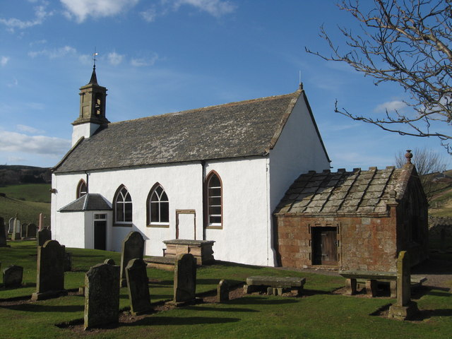
Oldhamstocks Kirk - geograph.org.uk - 1229851

(c) james denham, CC BY-SA 2.0

Autor/Urheber:
Größe:
640 x 480 Pixel (78301 Bytes)
Beschreibung:
Oldhamstocks Kirk The church at Oldhamstocks dates from pre-Reformation times and was further improved in 1730. Thomas Hepburn, the minister, built a burial aisle on to the east end of the church for himself and his wife Margaret Sinclair in 1581. Arms carved into the gable clearly show the initials 'TH' and 'MS' and the date.
Lizenz:
Credit:
Bild teilen:
Facebook   Twitter   Pinterest   WhatsApp   Telegram   E-Mail
Weitere Informationen zur Lizenz des Bildes finden Sie hier. Letzte Aktualisierung: Mon, 01 Jan 2024 17:23:38 GMT

Relevante Bilder

(c) james denham, CC BY-SA 2.0
(c) Renata Edge, CC BY-SA 2.0
(c) james denham, CC BY-SA 2.0
(c) Renata Edge, CC BY-SA 2.0
(c) james denham, CC BY-SA 2.0
(c) Anne Burgess, CC BY-SA 2.0
(c) Lisa Jarvis, CC BY-SA 2.0
(c) Richard Webb, CC BY-SA 2.0
(c) Lisa Jarvis, CC BY-SA 2.0
(c) M J Richardson, CC BY-SA 2.0
(c) Lisa Jarvis, CC BY-SA 2.0
(c) Kevin Rae, CC BY-SA 2.0
(c) Lisa Jarvis, CC BY-SA 2.0
(c) Kevin Rae, CC BY-SA 2.0
(c) Sandy Gemmill, CC BY-SA 2.0
(c) Mary and Angus Hogg, CC BY-SA 2.0
(c) Renata Edge, CC BY-SA 2.0
(c) Simon Johnston, CC BY-SA 2.0
(c) Lisa Jarvis, CC BY-SA 2.0
(c) Renata Edge, CC BY-SA 2.0
(c) Lisa Jarvis, CC BY-SA 2.0
(c) Dr Richard Murray, CC BY-SA 2.0
(c) Lisa Jarvis, CC BY-SA 2.0
(c) Alastair Seagroatt, CC BY-SA 2.0
(c) Richard Webb, CC BY-SA 2.0
(c) Lisa Jarvis, CC BY-SA 2.0
(c) Alastair Seagroatt, CC BY-SA 2.0
(c) Lisa Jarvis, CC BY-SA 2.0

Relevante Artikel

Oldhamstocks

Oldhamstocks ist ein Dorf in der schottischen Council Area East Lothian. Es liegt am Ostrand der Region rund zehn Kilometer südöstlich von Dunbar an der Nordostflanke der Lammermuir Hills. Die nächstgelegene Ortschaft ist das bereits in den Scottish Borders gelegene Cockburnspath. .. weiterlesen

Liste der Kategorie-A-Bauwerke in East Lothian

Die Liste der Kategorie-A-Gebäude in East Lothian umfasst sämtliche in der Kategorie A eingetragenen Baudenkmäler in der schottischen Council Area East Lothian. Die Einstufung wird anhand der Kriterien von Historic Scotland vorgenommen, wobei in die höchste Kategorie A Bauwerke von nationaler oder internationaler Bedeutung einsortiert sind. In East Lothian sind derzeit 126 Bauwerke in der Kategorie A gelistet. .. weiterlesen