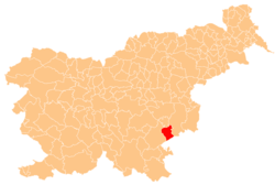
Obcine Slovenija 2006 Sentrupert
Autor/Urheber:
Source of the public data is GURS (Geodetska uprava Republike Slovenije or Surveying and Mapping Authority of the Republic of Slovenia). Converted from Shapefile to SVG with shp2svg and prepared for Wikipedia by romanm (talk).
Shortlink:
Quelle:
Größe:
2613 x 1705 Pixel (2471350 Bytes)
Beschreibung:
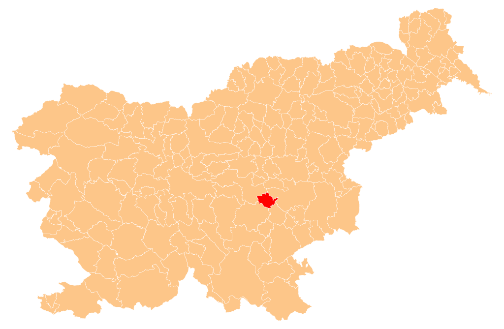
Občina Šentrupert (marked red) on map of the municipalities (občine) of the Republic of Slovenia, as since May 2006 (210 units).
Kommentar zur Lizenz:
Public domain. See Image:Obcine Slovenija 2006.svg for an explanation.
Lizenz:
Public domain
Credit:
Manipulated Image:Obcine Slovenija 2006.svg in text editor.
Relevante Bilder
Relevante Artikel
ŠentrupertŠentrupert ist eine Gemeinde in der Region Dolenjska (Unterkrain) in Slowenien. .. weiterlesen
Jugovzhodna SlovenijaJugovzhodna Slovenija („Südost-Slowenien“), präzise Jugovzhodna Slovenija statistična regija ist eine statistische Region in Slowenien auf NUTS3-Ebene. .. weiterlesen
