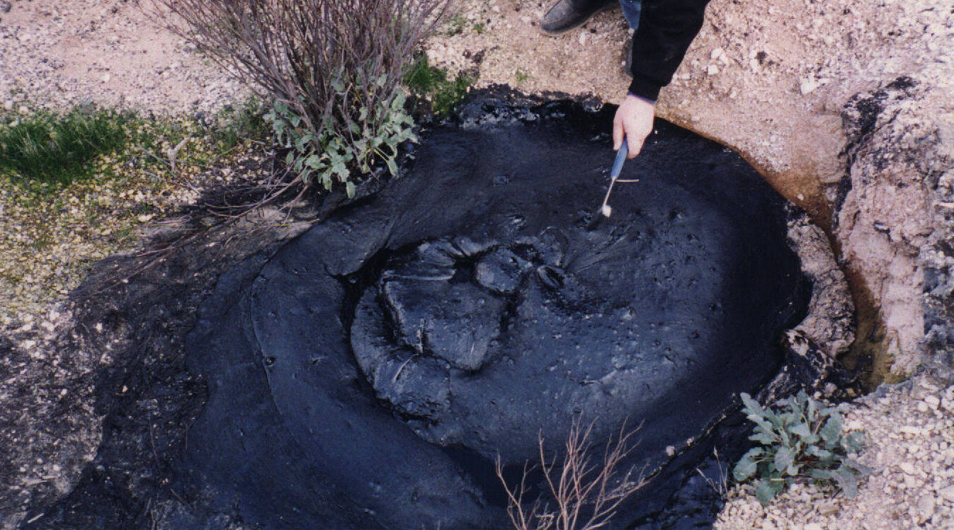
McKittrick Tar Seep North of Highway 58
Autor/Urheber:
Attribution:
Das Bild ist mit 'Attribution Required' markiert, aber es wurden keine Informationen über die Attribution bereitgestellt. Vermutlich wurde bei Verwendung des MediaWiki-Templates für die CC-BY Lizenzen der Parameter für die Attribution weggelassen. Autoren und Urheber finden für die korrekte Verwendung der Templates hier ein Beispiel.
Shortlink:
Quelle:
Größe:
1376 x 752 Pixel (252135 Bytes)
Beschreibung:
This is one of the better looking natural tar seeps at the McKittrick Oil Field, in California.
- Sometimes the surface is hard, but in hot weather, it is soft. People like to light the gas bubbles that come out of the seep.
- The seeps are visible on Google maps as dark areas south of the intersection of Highway 33 and Highway 58, in the western San Joaquin Valley.
Lizenz:
Bild teilen:


Relevante Bilder

Relevante Artikel
Asphaltsee (Geologie)Ein Asphaltsee ist ein natürliches Vorkommen von Asphalt. .. weiterlesen