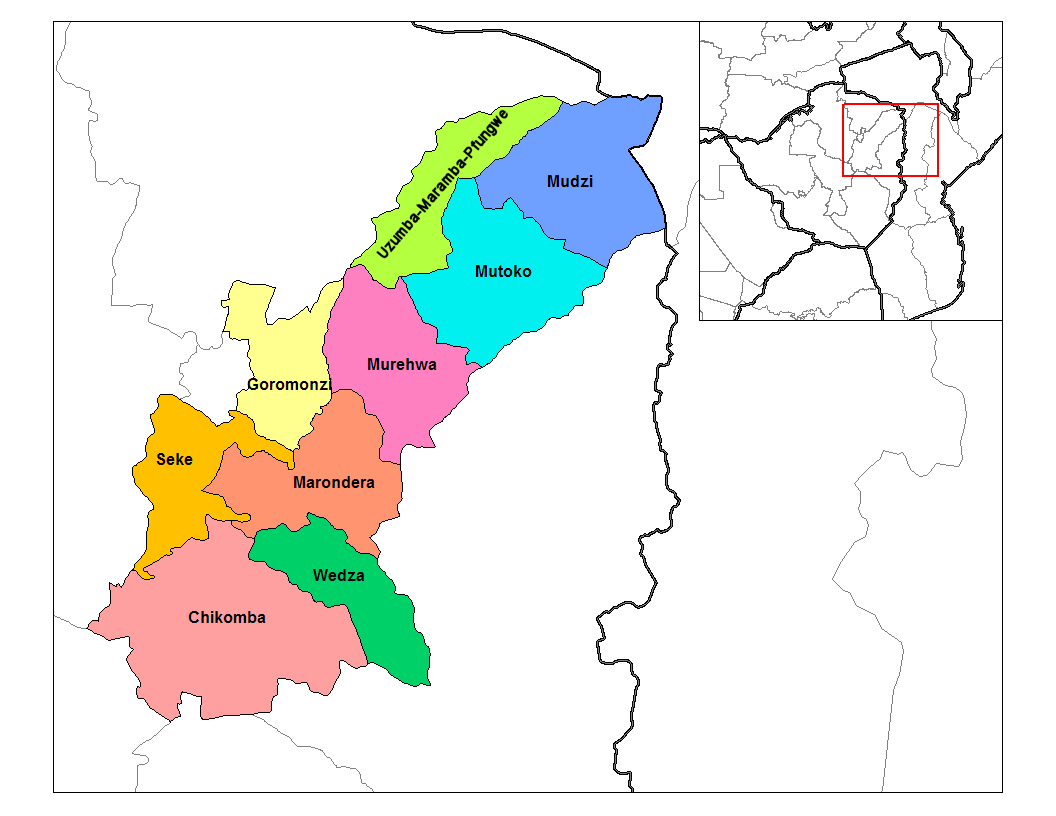
Mashonaland East districts
Autor/Urheber:
Shortlink:
Quelle:
Größe:
1056 x 816 Pixel (40343 Bytes)
Beschreibung:
Map of the districts of Mashonaland East province of Zimbabwe.
Lizenz:
Public domain
Credit:
Eigenes Werk (Rarelibra) using MapInfo Professional v8.5 and various mapping resources.
Transferred from en.wikipedia
Transferred from en.wikipedia
Bild teilen:


Relevante Bilder
.svg)

Relevante Artikel
Provinz Mashonaland EastMashonaland East ist eine Provinz im Nordosten Simbabwes. Sie ist 32.230 km² groß und hat 1.731.173 Millionen Einwohner (2022). Marondera ist die Hauptstadt von Mashonaland East. .. weiterlesen