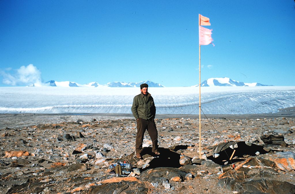
Marble Point in 1957
Shortlink:
Quelle:
Größe:
1788 x 1176 Pixel (1265444 Bytes)
Beschreibung:
Photographer: Self-portrait, William McTigue
Date: 1957
Location: Marble Point, Antarctica
Source: United States National Oceanic and Atmospheric Administration
Lizenz:
Public domain
Relevante Bilder
Relevante Artikel
Marble PointDer Marble Point ist eine Landspitze an der Scott-Küste des ostantarktischen Viktorialands. Sie ragt rund 5 km nördlich des Kap Bernacchi in den McMurdo-Sund hinein und markiert die nördliche Begrenzung der Bernacchi-Bucht. .. weiterlesen


