Map showing the Départements of Algeria from 1962-1968 and 1968-1974
(c) Mustafaa at the English Wikipedia, CC BY-SA 3.0
Autor/Urheber:
Shortlink:
Quelle:
Größe:
744 x 1052 Pixel (79152 Bytes)
Beschreibung:
A map showing the Départements of Algeria from 1962-1968 and 1968-1974 when they where called "provinces".
Lizenz:
Relevante Bilder
Relevante Artikel
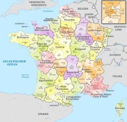
DépartementEin Département [depaʁt(ə)mɑ̃] ist eine staatliche Verwaltungseinheit und zugleich Collectivité territoriale (Gebietskörperschaft) in Frankreich. .. weiterlesen


