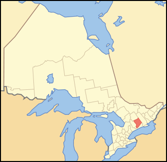
Map of Ontario PETERBOROUGH
Autor/Urheber:
Shortlink:
Quelle:
Größe:
340 x 330 Pixel (85534 Bytes)
Beschreibung:
A map of Ontario highlighting Peterborough County
Lizenz:
Public domain
Credit:
Crop and trace of Image:Canada (geolocalisation).svg; trace of Image:Ontario subdivisions.PNG.
Relevante Bilder
Relevante Artikel
Peterborough CountyPeterborough County ist ein County im Südosten der kanadischen Provinz Ontario. Der County Seat ist Peterborough. Die Einwohnerzahl beträgt 138.236, die Fläche 3848,20 km², was einer Bevölkerungsdichte von 35,9 Einwohnern je km² entspricht. Das County wurde 1838 als District of Colborne gegründet und erhielt 1850 seinen heutigen Namen. .. weiterlesen

