Map of East Carroll Parish Louisiana With Municipal and District Labels
Autor/Urheber:
US Census, Ruhrfisch
Shortlink:
Quelle:
Größe:
385 x 595 Pixel (41149 Bytes)
Beschreibung:
Map of East Carroll Parish, Louisiana, United States with district and municipal boundaries
Kommentar zur Lizenz:
US Census / US Government work is public domain, my modifications licensed under the GNU Free Documentation License
Lizenz:
Public domain
Credit:
taken from US Census website [1] and modified by User:Ruhrfisch
Relevante Bilder
Relevante Artikel
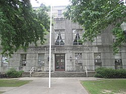
East Carroll ParishDas East Carroll Parish ist ein Parish im Bundesstaat Louisiana der Vereinigten Staaten. Im Jahr 2010 hatte das Parish 7759 Einwohner und eine Bevölkerungsdichte von 7,1 Einwohner pro Quadratkilometer. Der Verwaltungssitz ist Lake Providence. .. weiterlesen


