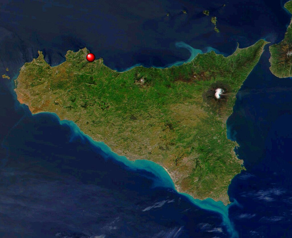
Location of Palermo - Satellite image Sicily
Autor/Urheber:
User: VanVitello (talk) 18:44, 2 February 2010 (UTC) : trasformation of File:Satellite image Sicily.jpg by NASA
Shortlink:
Quelle:
Größe:
1288 x 1048 Pixel (511163 Bytes)
Beschreibung:
Location of Palermo in a satellite immage of Sicily.
This true-color scene of a smoke plume streaming eastward from snow-capped Mount Etna was acquired on April 7, 2002, by the Moderate-resolution Imaging Spectroradiometer (MODIS), aboard NASA's Terra satellite. Mount Etna, towering above Catania, Sicily's second largest city, has one of the world's longest documented records of historical volcanism, dating back to 1500 BC. Historical lava flows cover much of the surface of this massive basaltic stratovolcano, the highest and most voluminous in Italy.
Lizenz:
Public domain


