Larose Louisiana aerial view
Autor/Urheber:
Arthur Belala, U.S. Army Corps of Engineers
Shortlink:
Quelle:
Größe:
1500 x 1000 Pixel (284166 Bytes)
Beschreibung:
Aerial view of the intersection of Bayou Lafourche and the Gulf Intracoastal Waterway at Larose, Louisiana, USA. The waterway runs left–right across the photograph and the bayou runs off into the distance at the top. The U.S. Army Corps of Engineers has installed a floodgate on the bayou, visible at center.
Kommentar zur Lizenz:
This image or file is a work of a U.S. Army Corps of Engineers soldier or employee, taken or made as part of that person's official duties. As a work of the U.S. federal government, the image is in the public domain.
Lizenz:
Public domain
Credit:
U.S. Army Corps of Engineers Digital Visual Library
Image page
Image description page
Digital Visual Library home page
Image page
Image description page
Digital Visual Library home page
Relevante Bilder
Relevante Artikel
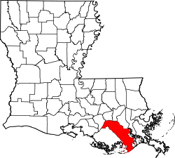
Lafourche ParishDas Lafourche Parish ist ein Parish im Bundesstaat Louisiana der Vereinigten Staaten. Bei der Volkszählung im Jahr 2010 hatte das Parish 96.318 Einwohner und eine Bevölkerungsdichte von 34,1 Einwohnern pro Quadratkilometer. Der Verwaltungssitz ist Thibodaux. .. weiterlesen


