Lac de Shkodra
Autor/Urheber:
Attribution:
Das Bild ist mit 'Attribution Required' markiert, aber es wurden keine Informationen über die Attribution bereitgestellt. Vermutlich wurde bei Verwendung des MediaWiki-Templates für die CC-BY Lizenzen der Parameter für die Attribution weggelassen. Autoren und Urheber finden für die korrekte Verwendung der Templates hier ein Beispiel.
Shortlink:
Quelle:
Größe:
3072 x 2304 Pixel (4222929 Bytes)
Beschreibung:
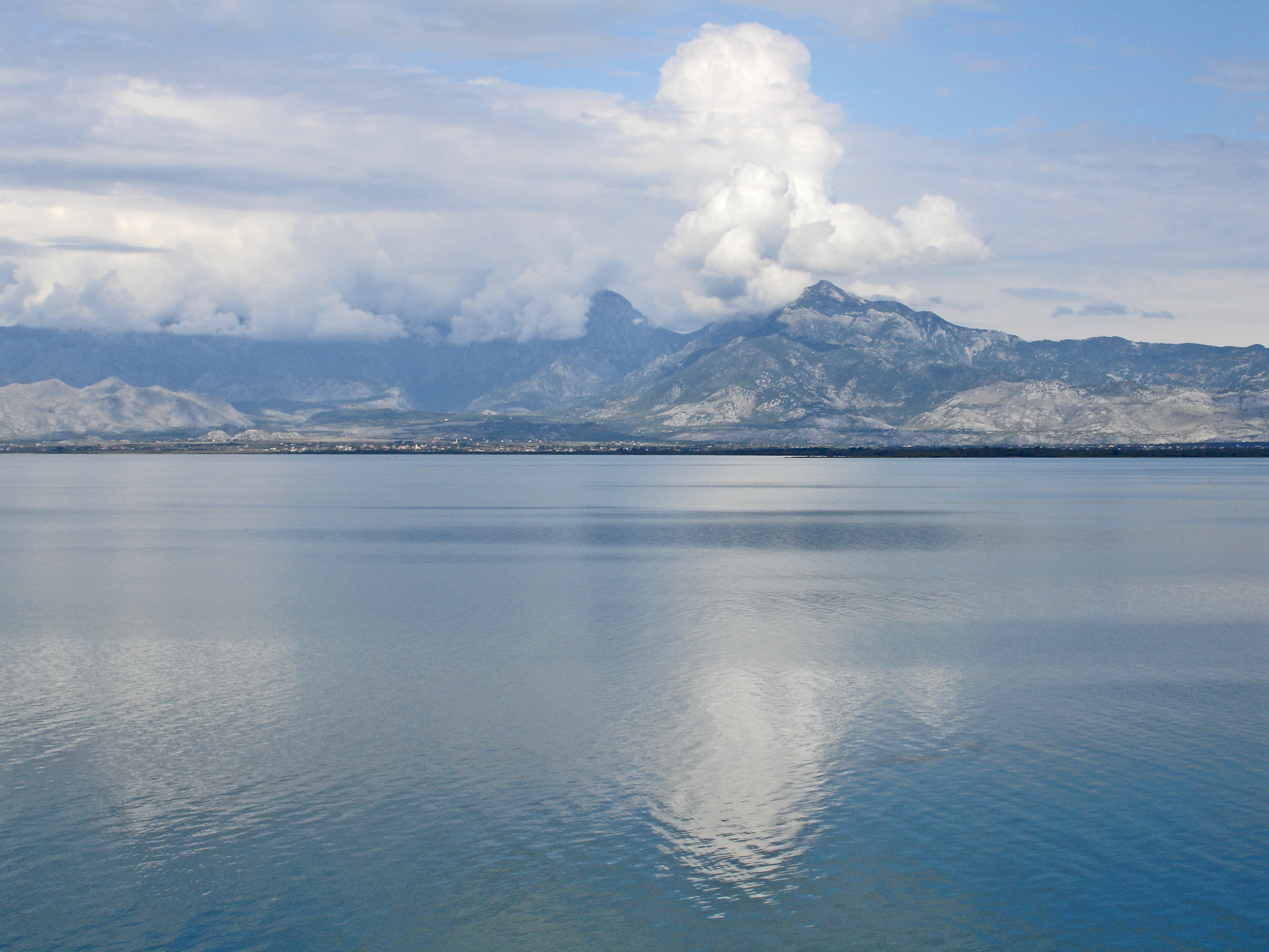
Lac de Shkodra et le mont Maranaj (1576 m) en Albanie
Kommentar zur Lizenz:
Diese Datei ist unter der Creative-Commons-Lizenz „Namensnennung 2.0 generisch“ (US-amerikanisch) lizenziert.
- Dieses Werk darf von dir
- verbreitet werden – vervielfältigt, verbreitet und öffentlich zugänglich gemacht werden
- neu zusammengestellt werden – abgewandelt und bearbeitet werden
- Zu den folgenden Bedingungen:
- Namensnennung – Du musst angemessene Urheber- und Rechteangaben machen, einen Link zur Lizenz beifügen und angeben, ob Änderungen vorgenommen wurden. Diese Angaben dürfen in jeder angemessenen Art und Weise gemacht werden, allerdings nicht so, dass der Eindruck entsteht, der Lizenzgeber unterstütze gerade dich oder deine Nutzung besonders.
| Diese Bilddatei wurde ursprünglich auf Flickr durch net_efekt in https://www.flickr.com/photos/60364452@N00/116789459 hochgeladen. Sie wurde am 6. April 2007 durch den FlickreviewR-Bot geprüft und die Lizenzierung der Datei unter den Bedingungen von cc-by-2.0 wurde bestätigt. |
Lizenz:
Bild teilen:


Relevante Bilder

(c) Pavel Špindler, CC BY 3.0


(c) Henk Monster, CC BY 3.0

(c) Johann Jaritz / CC BY-SA 4.0
_-_dove_il_ghiaccio_diventa_cristallo_-_panoramio.jpg)
(c) giovanni bidi, CC BY 3.0

(c) Clemens Pohl, CC BY-SA 3.0


_visto_dalla_Silvermoos_-_panoramio.jpg)
(c) giovanni bidi, CC BY 3.0
_-_Pogradec_-_M%c3%a9diath%c3%a8que_de_l%27architecture_et_du_patrimoine_-_APOR151501.jpg)
.jpg)
.jpg)


(c) Deutsche Fotothek, CC BY-SA 3.0 de


(c) Deutsche Fotothek, CC BY-SA 3.0 de

(c) Deutsche Fotothek, CC BY-SA 3.0 de


(c) Deutsche Fotothek, CC BY-SA 3.0 de

(c) Deutsche Fotothek, CC BY-SA 3.0 de

(c) Deutsche Fotothek, CC BY-SA 3.0 de

(c) Deutsche Fotothek, CC BY-SA 3.0 de

(c) Deutsche Fotothek, CC BY-SA 3.0 de

(c) Deutsche Fotothek, CC BY-SA 3.0 de

(c) Deutsche Fotothek, CC BY-SA 3.0 de
_m_2505_-_panoramio.jpg)
(c) giovanni bidi, CC BY 3.0

(c) Deutsche Fotothek, CC BY-SA 3.0 de


(c) Deutsche Fotothek, CC BY-SA 3.0 de


(c) Robert Guschelbauer, CC BY-SA 3.0

(c) Henk Monster, CC BY 3.0


(c) Deutsche Fotothek, CC BY-SA 3.0 de


(c) Deutsche Fotothek, CC BY-SA 3.0 de

(c) Deutsche Fotothek, CC BY-SA 3.0 de


(c) Deutsche Fotothek, CC BY-SA 3.0 de

(c) Deutsche Fotothek, CC BY-SA 3.0 de
Relevante Artikel
SkutariseeDer Skutarisee ist der größte See der Balkanhalbinsel und – je nach Ansicht – neben dem Gardasee der größte See Südeuropas. Die hier verwendete Bezeichnung hat der See nach dem früher verwendeten italienischen Namen der an der Südostspitze des Sees gelegenen albanischen Stadt Shkodra. Der See liegt im Grenzgebiet zwischen Montenegro und Albanien, der montenegrinische Anteil an der Fläche des Sees ist etwas größer als der albanische. Nach Südwesten ist er durch das bis zu 1600 Meter hohe Gebirge Rumija von der nur 20 Kilometer entfernt liegenden Adria getrennt, während sich an der Nordostseite ein weit gedehntes, teilweise versumpftes Flachland anschließt. .. weiterlesen