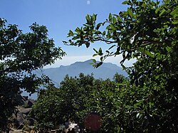
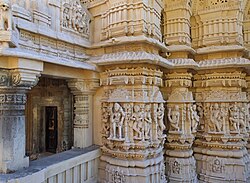
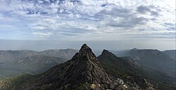
Junagadh Girnar Hill map
Identifier: handbooktravelle00john Title: A handbook for travellers in India, Burma, and Ceylon . Year: 1911 (1910s) Authors: John Murray (Firm) Subjects: India -- Guidebooks Burma -- Guidebooks Sri Lanka -- Guidebooks Publisher: London : J. Murray Calcutta : Thacker, Spink, & Co. Contributing Library: University of California Libraries Digitizing Sponsor: MSN
View Book Page: Book Viewer
About This Book: Catalog Entry
View All Images: All Images From Book
Click here to view book online to see this illustration in context in a browseable online version of this book.
Note About Images
Please note that these images are extracted from scanned page images that may have been digitally enhanced for readability - coloration and appearance of these illustrations may not perfectly resemble the original work.Relevante Bilder
Relevante Artikel
GirnarGirnar ist ein ca. 120 km² umfassender Bergstock vulkanischen Ursprungs mit einer Maximalhöhe von ca. 1117 m im Süden des indischen Bundesstaats Gujarat. Weit vor den etwa 150 km östlich gelegenen, nur etwa 580 m hohen Shatrunjaya-Hills bei der Stadt Palitana ist der Mount Girnar die höchste Erhebung Gujarats. Die einzelnen Gipfel des Bergstocks tragen Götternamen wie Ambaji, Gorakhnath, Oghadnath, Dattatreya, Gabbar, Anasuya und Kalika. .. weiterlesen


