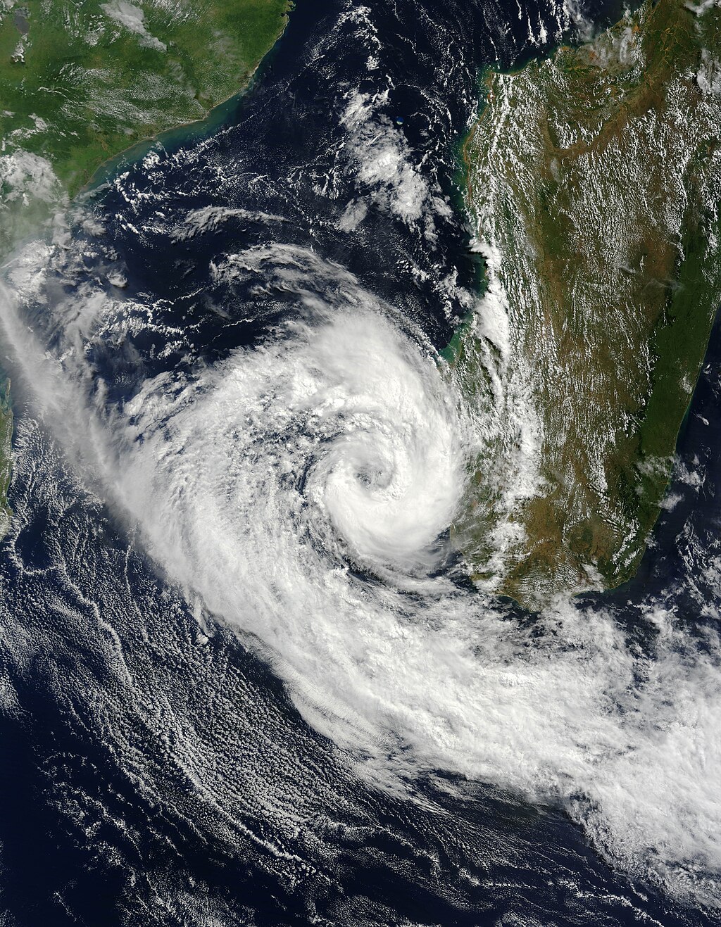
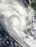
Izilda 25 March 2009 at 0715 UTC
Größe:
5600 x 7200 Pixel (9153527 Bytes)
Beschreibung:
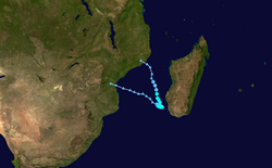
Cyclone Izilda was near its peak strength when the Moderate Resolution Imaging Spectroradiometer (MODIS) on NASA’s Terra satellite captured this image on March 25, 2009. As far as cyclones go, the comma-shaped storm was weak, with winds estimated at 65 kilometers per hour (40 miles per hour or 35 knots). The Joint Typhoon Warning Center forecast that the storm would weaken as it moved south through the Mozambique Channel. It was not forecast to go ashore.
Most of the clouds in this photo-like image are concentrated in Cyclone Izilda, leaving a relatively clear view of southern Madagascar. A line of dark green mountains runs up the eastern side of the island. To the east, the land is lush and green. Inland, to the west of the mountains, the land is drier and brown.
Weitere Informationen zur Lizenz des Bildes finden Sie hier. Letzte Aktualisierung: Sun, 15 Oct 2023 23:33:37 GMT
Relevante Bilder
Relevante Artikel
Zyklonsaison im Südwestindik 2008–2009
Die Zyklonsaison im Südwestindik 2008–2009 hat offiziell am 15. November 2008 begonnen und endete am 30. April 2009, mit Ausnahme von Mauritius und den Seychellen, wo sie erst am 15. Mai 2009 endete. Diese Daten begrenzen konventionell die Zeit des meteorologischen Jahres der Südhalbkugel, in denen sich im südwestlichen Indischen Ozean die meisten tropischen Wirbelstürme bilden. Die tropischen Wirbelstürme werden in diesem Becken durch das Regional Specialized Meteorological Centre (RSMC) in La Réunion, Frankreich überwacht. Das Verantwortungsgebiet von Météo-France umfasst den Indischen Ozean südlich des Äquators und westlich von 90° östlicher Länge. Tropische Wirbelstürme in diesem Becken werden Zyklone genannt.
.. weiterlesen
