FMIB 43851 Chart of the Northern Portion of East-Greenland, Surveyed on the Sledge Journey from 24th March to 27th April 1870
- Subject: Greenland--Maps
- Geographic Subject: Greenland
- Tag: Coasts, Polar
| This is a photograph from the Freshwater and Marine Image Bank at the University of Washington. Materials in the Freshwater and Marine Image Bank are in the public domain. No copyright permissions are needed. Acknowledgement of the Freshwater and Marine Image Bank as a source for borrowed images is requested. |
Relevante Bilder
Relevante Artikel
Carl KoldeweyCarl Christian Koldewey war ein deutscher Polarforscher. .. weiterlesen
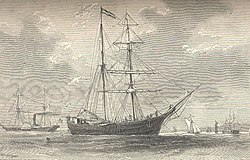
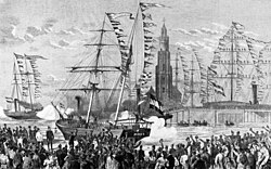
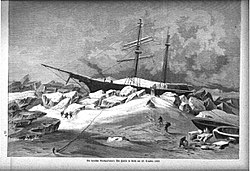
Zweite Deutsche Nordpolar-ExpeditionDie Zweite Deutsche Nordpolar-Expedition war eine vom Geographen August Petermann inspirierte wissenschaftliche Entdeckungsfahrt mit den Schiffen Germania und Hansa. Die von Kapitän Carl Koldewey geleitete Expedition erkundete und kartierte 1869/70 bis dahin unbekannte Teile der Ostküste Grönlands zwischen 74,5° und 77° nördlicher Breite. Weiter südlich entdeckte sie den Kejser Franz Joseph Fjord und kartierte einen Teil dieses Fjordsystems. .. weiterlesen
Store KoldeweyStore Koldewey ist eine grönländische Insel im Nordost-Grönland-Nationalpark. .. weiterlesen
Kuhn ØKuhn Ø ist eine unbewohnte grönländische Insel im Nordost-Grönland-Nationalpark. .. weiterlesen


