Eastern Cape 2011 population density map
Autor/Urheber:
Shortlink:
Quelle:
Größe:
1233 x 811 Pixel (5854419 Bytes)
Beschreibung:
Population density map of the Eastern Cape province of South Africa, from the 2011 Census, at the "Small Area" level.
<1 inhabitant/km²
1–3 inhabitants/km²
3–10 inhabitants/km²
10–30 inhabitants/km²
30–100 inhabitants/km²
100–300 inhabitants/km²
300–1000 inhabitants/km²
1000–3000 inhabitants/km²
>3000 inhabitants/km²
Projection is Albers Equal-Area Conic, with standard parallels at 25.5° S and 31.5° S, and origin at 28.5° S 25.5° E.
Kommentar zur Lizenz:
Lizenz:
Public domain
Credit:
Statistics South Africa's Census 2011 is the source of the basic population data. The map results from my own processing of the data.
Relevante Bilder
Relevante Artikel
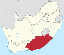
OstkapOstkap ist eine südafrikanische Provinz im Südosten der Republik. Die Provinz Ostkap entstand 1994 durch die Vereinigung des Südostens der Kapprovinz mit den ehemaligen Homelandgebieten Ciskei und Transkei. Die Hauptstadt ist Bhisho. .. weiterlesen


