East of England counties 2019 map
- East_of_England_districts_2011_map.svg: Nilfanion, created using Ordnance Survey data
- English_ceremonial_counties_2010.svg: Nilfanion
- derivative work: Dr Greg
Equirectangular map projection on WGS 84 datum, with N/S stretched 160%
Geographic limits:
- West: 0.8W
- East: 1.8E
- North: 53.1N
- South: 51.4N
Diese Datei wurde von diesen Werken abgeleitet:


Relevante Bilder


.svg)
.svg)


Relevante Artikel
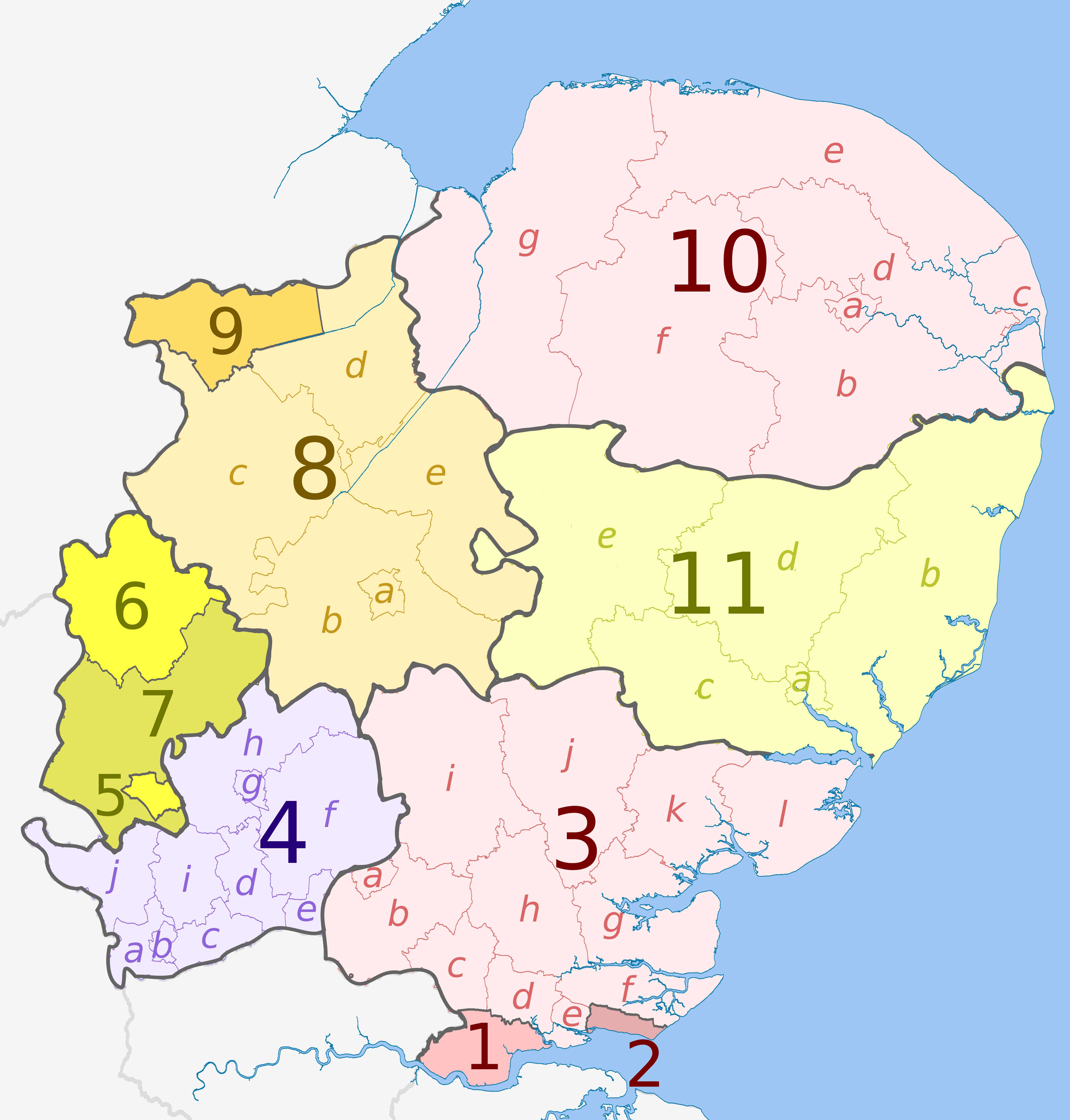
East of EnglandEast of England ist eine der neun Regionen Englands. Zu ihr gehören die folgenden Grafschaften (counties) und Unitary Authorities: .. weiterlesen
Verwaltungsgliederung EnglandsDie Verwaltungsgliederung Englands ist letztmals 2021 in einigen Landesteilen reformiert worden. England gliedert sich derzeit in neun Regionen, darunter Greater London. Mit Ausnahme von Greater London sind deren kommunale Einheiten seit 2021 auf drei verschiedene Arten gegliedert:6 Metropolitan Counties, die in insgesamt 36 Metropolitan Boroughs untergliedert sind; 21 Non-Metropolitan Counties, die in insgesamt 164 Districts untergliedert sind ; 63 Unitary Authorities, unter denen die Scilly-Inseln einen Sonderstatus haben. 56 Unitary Authorities haben einen County-Status und sieben haben keinen County-Status. .. weiterlesen