Duisburg 033
The Ruhr area ('Ruhrgebiet') is named after the river that borders it to the south and is the largest urban area in Germany with over five million people. It is mostly known as a densely-populated industrial area. By 1850 there were almost 300 coal mines in operation in the Ruhr area. The coal was exported or processed in coking ovens into coke, used in blast furnaces, producing iron and steel. Because of the industrial significance, it had been a target from the start of the war, yet "the organized defences and the large amount of industrial pollutants produced a semi-permanent smog or industrial haze that hampered accurate bombing". During World War II, the industry and cities in the Ruhr area were heavily bombed. The combination of the lack of historic city centres, which were burned to ashes, and (air) pollution has given the area and the cities a bad reputation. Especially because it is so close to the Netherlands, I thought it would be an interesting area to visit for a little trip. I have spent three nights at a campsite on the Ruhr and visited six cities.
My trip started in Duisburg, the fifteenth largest city in Germany and the third largest in the Ruhr area with a population of 500,000 inhabitants. Although the city is one of the most heavily bombed cities by allied forces during World War II, it has a rich history. The city wall was erected in 1120 and Duisburg was granted city rights in 1279. Duisburg has the largest inland port in the world. Let's find out what is left of pre-war Duisburg.
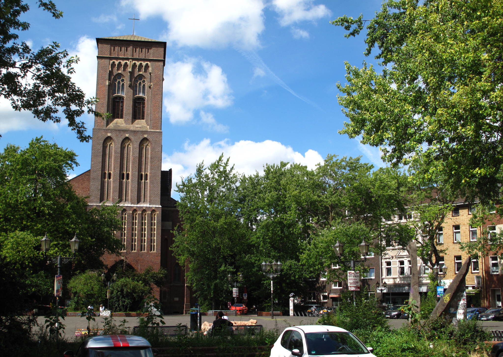
The Dellviertel district, in which the shopping district of the centre lies, has some old houses in the style of the 'Gründerzeit' from around 1910 that survived the war, which can be easily identified from the dull newer buildings around it. The catholic church St. Joseph was built from 1871-1874.


Relevante Bilder


Relevante Artikel
Duisburg-MitteDuisburg-Mitte ist ein Stadtbezirk der Stadt Duisburg mit etwa 110.000 Einwohnern und einer Fläche von 34,98 km² (Stand: 31. Dezember 2020). .. weiterlesen