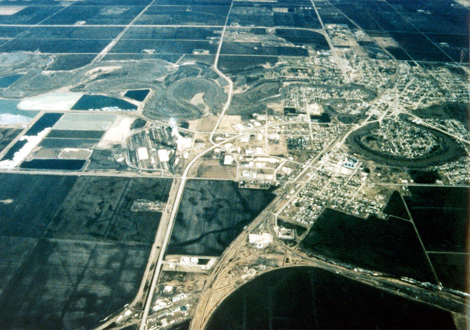
Crookston Minnesota aerial view
Image page
Image description page
Digital Visual Library home page


Relevante Bilder


Relevante Artikel
Crookston (Minnesota)Crookston ist eine Stadt und Verwaltungssitz des Polk County im US-amerikanischen Bundesstaat Minnesota. Crookston ist Bestandteil der Metropolregion Greater Grand Forks. Das U.S. Census Bureau hat bei der Volkszählung 2020 eine Einwohnerzahl von 7.482 ermittelt. .. weiterlesen
Red Lake RiverDer Red Lake River bildet den Abfluss des Red Lake und durchfließt in westlicher Richtung das Clearwater, Pennington, Red Lake und das Polk County im US-amerikanischen Bundesstaat Minnesota. Dabei werden die Städte Thief River Falls, Red Lake Falls und Crookston durchflossen, bevor sich der Fluss rund 20 km südwestlich von East Grand Forks in zwei Teile gabelt. Der südliche Teil fließt durch die Stadt und mündet gegenüber von Grand Forks in South Dakota in den Red River of the North. Der nördliche Arm fließt nordöstlich an der Stadt vorbei und mündet rund 15 km nördlich. .. weiterlesen