Charlotte amalie airport diagram
Autor/Urheber:
National Aeronautical Charting Office (NACO), a department of the Federal Aviation Administration (FAA) in the United States.
Shortlink:
Quelle:
Größe:
1205 x 1837 Pixel (399697 Bytes)
Beschreibung:
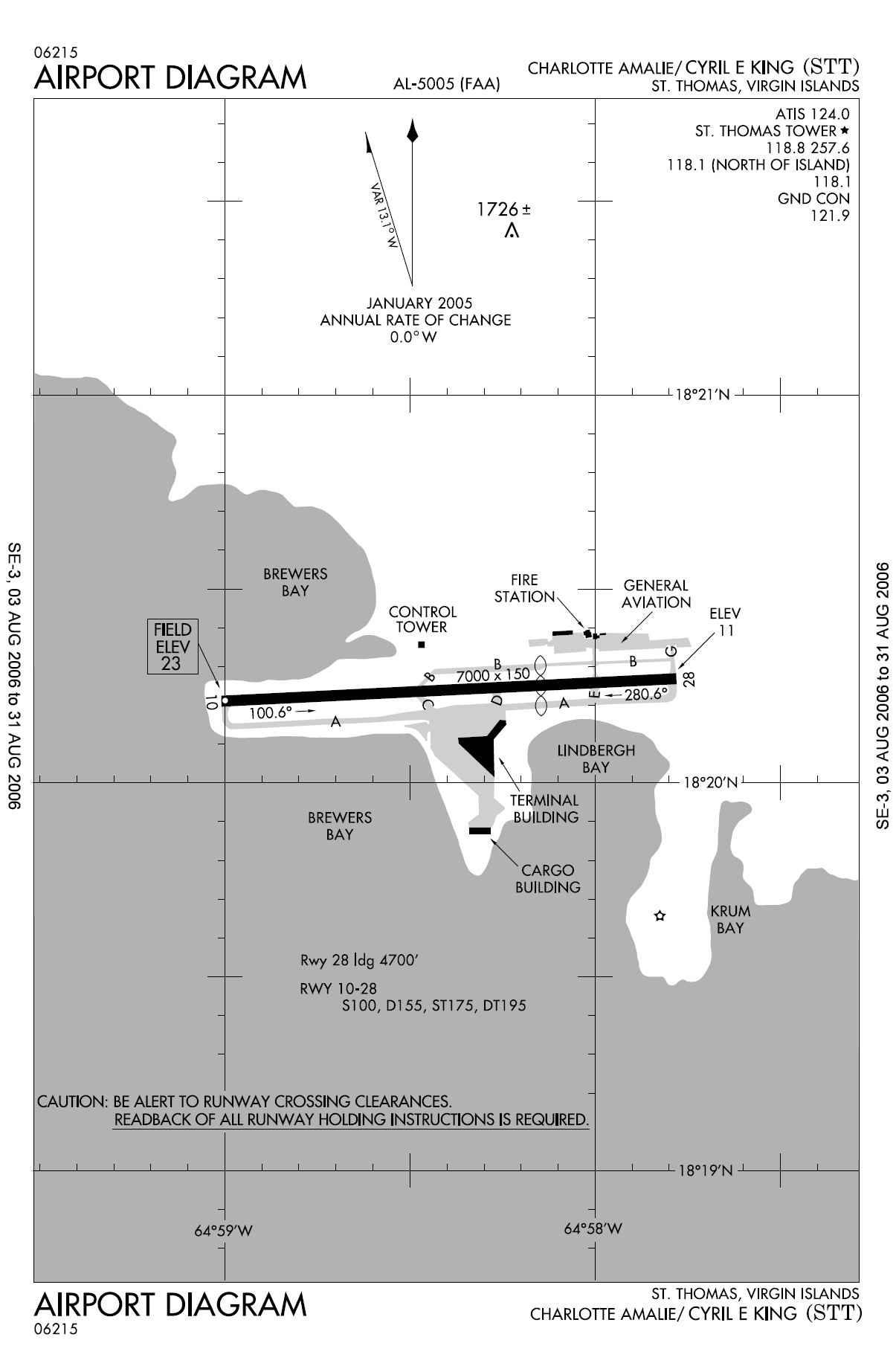
FAA diagram for Cyril E. King Airport (FAA: STT, ICAO: TIST) in Charlotte Amalie, Saint Thomas, U.S. Virgin Islands.
Lizenz:
Public domain
Credit:
http://naco.faa.gov/d-tpp/0608/05005AD.PDF (effective 03 AUG 2006 to 31 AUG 2006). Note: this URL changes monthly, see airport article's external links for a link to the current FAA diagram.
Bild teilen:


Relevante Bilder

.jpg)

.JPG)


Relevante Artikel
Cyril E. King AirportDer Cyril E. King Airport befindet sich auf der Insel Saint Thomas, Amerikanische Jungferninseln, USA. .. weiterlesen