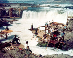
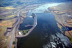
Celilo Falls aerial
Relevante Bilder
Relevante Artikel
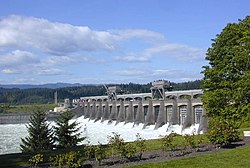
The-Dalles-TalsperreDie The-Dalles-Talsperre ist eine Staustufe am Columbia River, drei Kilometer östlich der Stadt The Dalles in Oregon, USA. Die Talsperre hat eine L-förmige Beton-Gewichtsstaumauer mit einem Laufwasserkraftwerk und staut seit 1957 den Columbia zum Lake Celilo auf, der sich 39 km flussaufwärts nach Westen bis zur John-Day-Talsperre erstreckt. Die The-Dalles-Talsperre wird vom United States Army Corps of Engineers betrieben und verbindet wie die flussabwärts folgende The Dalles Bridge das Wasco County in Oregon mit dem Klickitat County in Washington. Sie liegt 309 km flussaufwärts von der Mündung des Columbia bei Astoria und grenzt an den Lake Bonneville der nächsten Staustufe, die Bonneville-Talsperre. .. weiterlesen


