CalifSR49AmerMF
Autor/Urheber:
Shortlink:
Quelle:
Größe:
3648 x 2736 Pixel (4576504 Bytes)
Beschreibung:
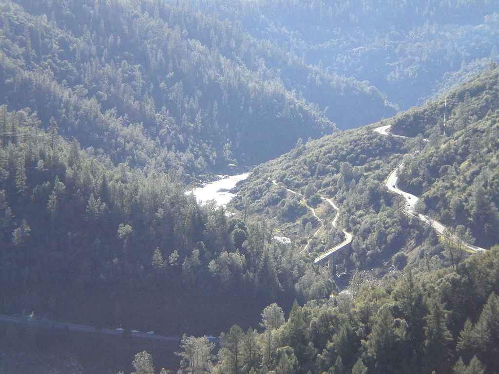
California State Routes 49 and 193, crossing the North/Middle Fork of the American River, looking south-southwest from the eastern terminus of the Foresthill Bridge. Auburn is forward and to the right, Cool a few miles to the left. The actual highway bridges and the confluence of the North and Middle Forks are unseen behind the ridge in front (the bridge near the middle of the picture is the Mountain Quarries Bridge, a former railroad bridge and a historical landmark).
Lizenz:
Public domain
Credit:
Eigenes Werk des ursprünglichen Hochladers
Relevante Bilder
Relevante Artikel
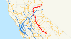
California State Route 49Die California State Route 49 ist eine etwa 475 km lange State Route im US-Bundesstaat Kalifornien, die in Nord-Süd-Richtung verläuft. .. weiterlesen


