Caithness Shire 1845 parish map

Autor/Urheber:
Shortlink:
Quelle:
Größe:
2492 x 3000 Pixel (1771437 Bytes)
Beschreibung:
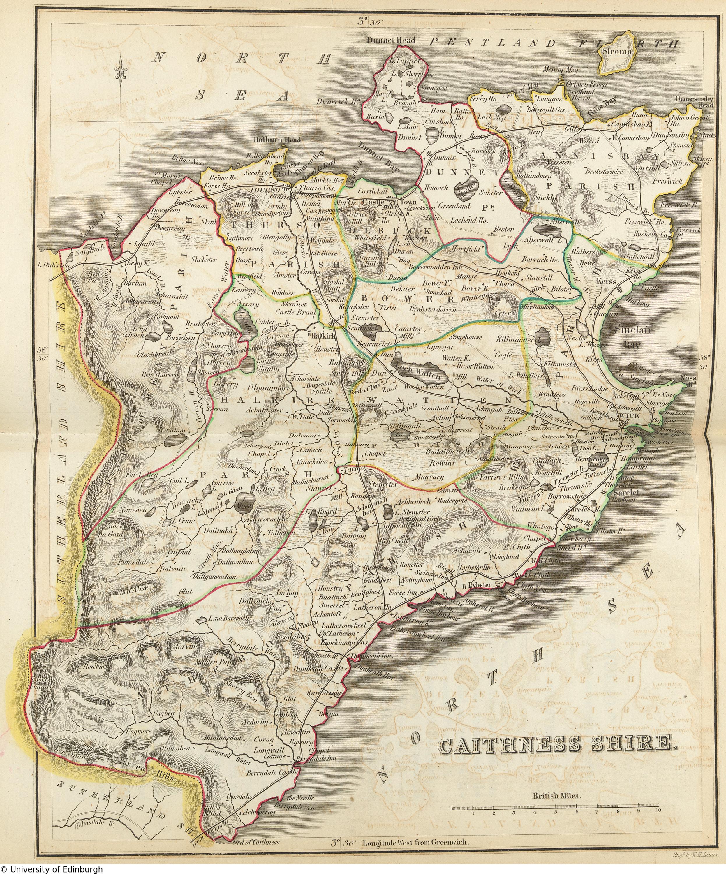
Caithness Shire map with parish boundaries, also published in the The New Statistical Account of Scotland, Vol. XV, William Blackwood & Sons, Edinburgh and London 1845
Lizenz:
Public domain
Bild teilen:


Relevante Bilder


Relevante Artikel
CaithnessCaithness ist eine traditionelle Grafschaft an der Nordostspitze Schottlands mit der historischen Hauptstadt Wick. 2013 lebten 26.067 Personen in Caithness auf einer Fläche von 1601,26 km². .. weiterlesen