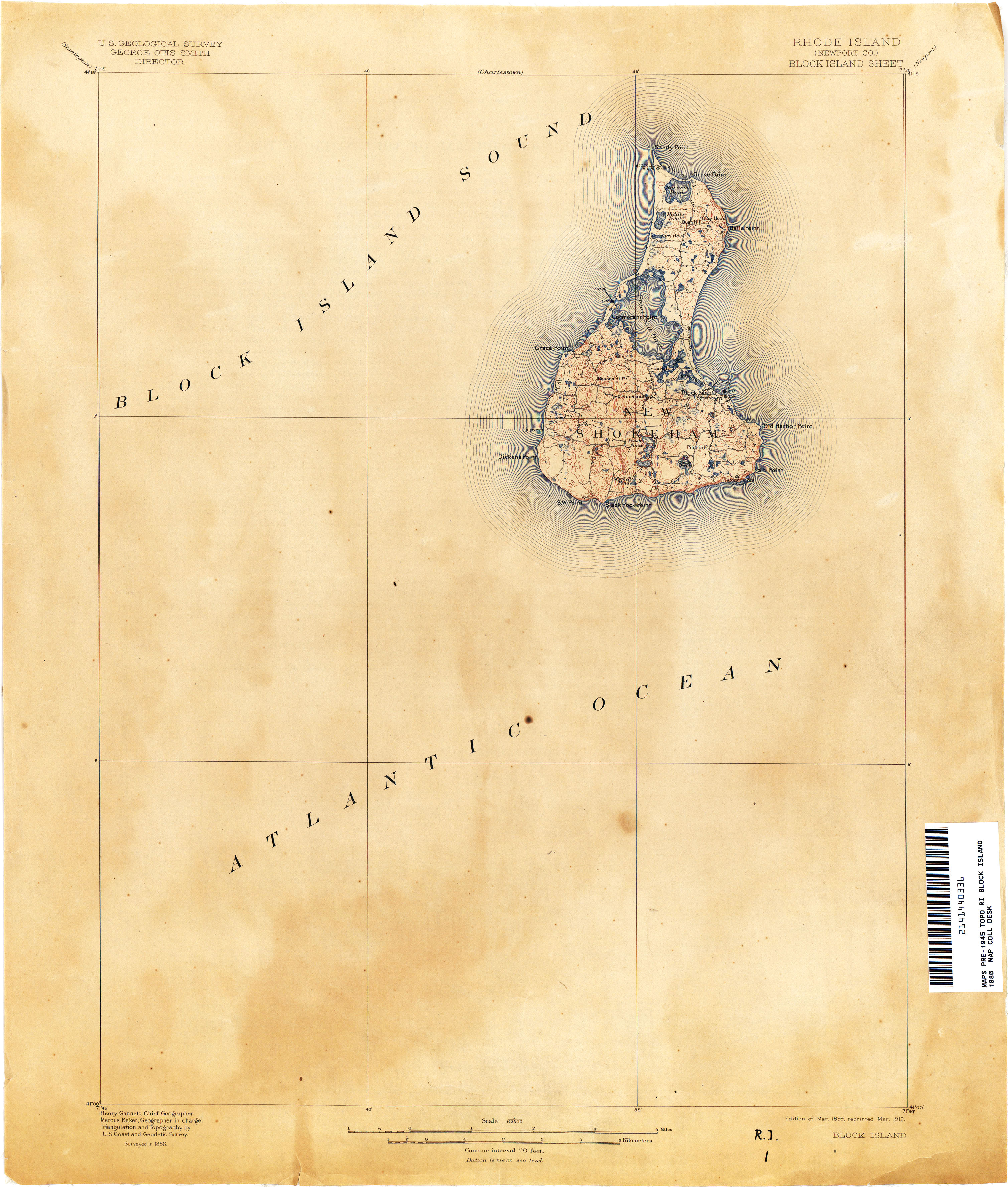
Block Island 1899 USGS map

Autor/Urheber:
USGS
Shortlink:
Quelle:
Größe:
3017 x 3552 Pixel (1944666 Bytes)
Beschreibung:
map of Block Island, Rhode Island, USA
Lizenz:
Public domain
Bild teilen:


Relevante Bilder


Relevante Artikel
Block Island (Rhode Island)Block Island ist eine bewohnte Insel im Süden des US-Bundesstaates Rhode Island. Der amtliche Name der Inselgemeinde ist Town of New Shoreham. .. weiterlesen