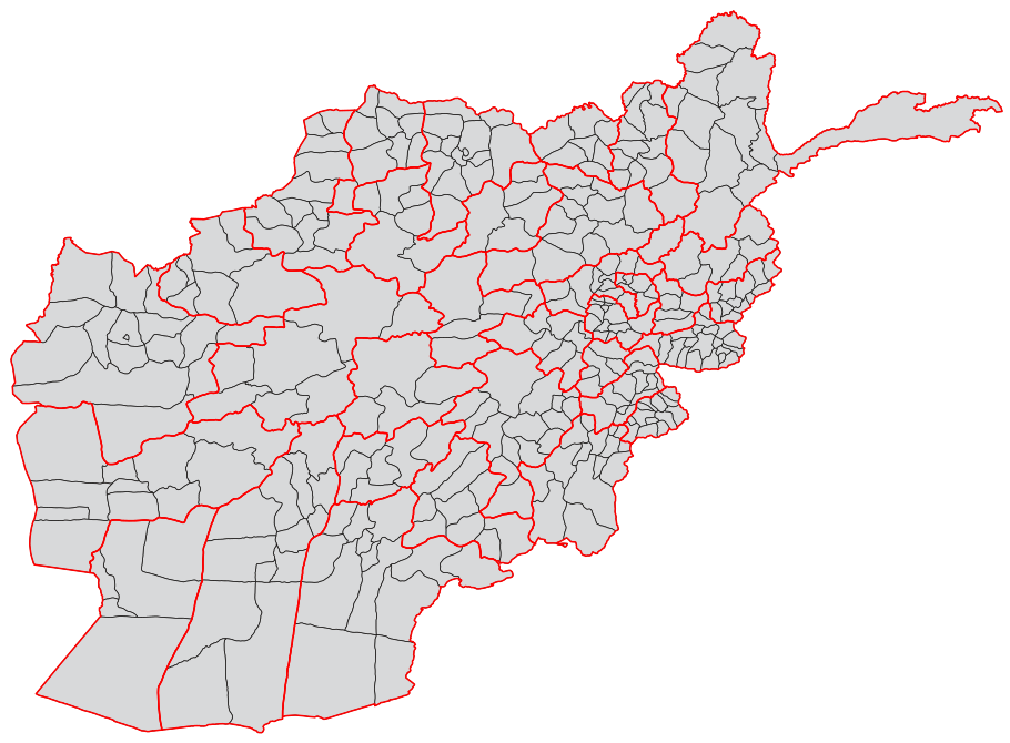
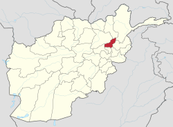
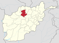
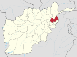
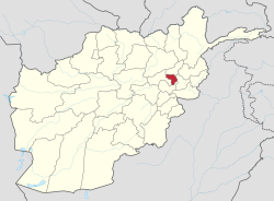
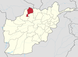
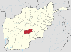
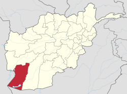
Blank map of Afghanistan districts
Autor/Urheber:
USGS and Lokal_Profil
Shortlink:
Quelle:
Größe:
910 x 670 Pixel (717209 Bytes)
Beschreibung:
A blank map of the districts of Afghanistan. The districts are grouped by province and province borders are shown in red.
Kommentar zur Lizenz:
Dieses Bild ist gemeinfrei (public domain), weil es Materialien beeinhaltet, die ursprünglich vom United States Geological Survey, einer Behörde des Innenministeriums der Vereinigten Staaten, stammen. Weitere Informationen finden Sie in den Urheberrechtsbestimmungen des USGS
Lizenz:
Public domain
Credit:
Map originally from Maplibrary.org who in turn have extracted it from GADM version 0.9 which source the data for Afghanistan as comming from the USGS.
- .shp file converted to .eps (polygons) using mapshaper.org, .eps file converted to .svg using Scribus and final code cleaned up using a text editor.
- Grouping, ISO codes and province borders by Lokal_Profil
Relevante Bilder
Relevante Artikel
Liste der Provinzen AfghanistansAfghanistan gliedert sich in 34 Provinzen (velayat), denen jeweils ein Gouverneur (waali) vorsteht, welcher von der Zentralregierung in Kabul ernannt oder bestätigt wird. .. weiterlesen
