Baltimore County Maryland Incorporated and Unincorporated areas Catonsville Highlighted
Autor/Urheber:
Attribution:
Das Bild ist mit 'Attribution Required' markiert, aber es wurden keine Informationen über die Attribution bereitgestellt. Vermutlich wurde bei Verwendung des MediaWiki-Templates für die CC-BY Lizenzen der Parameter für die Attribution weggelassen. Autoren und Urheber finden für die korrekte Verwendung der Templates hier ein Beispiel.
Shortlink:
Quelle:
Größe:
800 x 500 Pixel (119249 Bytes)
Beschreibung:
This map shows the incorporated and unincorporated areas in Baltimore County, Maryland, highlighting Catonsville in red. It was created with a custom script with US Census Bureau data and modified with Inkscape.
Lizenz:
Credit:
My own work, based on public domain information. Based on similar map concepts by Ixnayonthetimmay
Relevante Bilder
Relevante Artikel
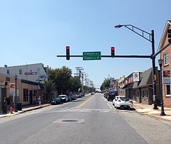
CatonsvilleCatonsville ist eine Ortschaft (CDP) im Baltimore County im US-Bundesstaat Maryland mit rund 41.600 Einwohnern. Catonsville ist eine Vorstadt und Teil der Metropolregion Baltimore. Teile der University of Maryland, Baltimore County befinden sich auf dem Gebiet der Ortschaft. .. weiterlesen

