Air massif sat map south
Autor/Urheber:
- derivative work: T L Miles (talk)
- Niger_BMNG.png: US Gov/NASA (PD)
Shortlink:
Quelle:
Größe:
338 x 426 Pixel (240360 Bytes)
Beschreibung:
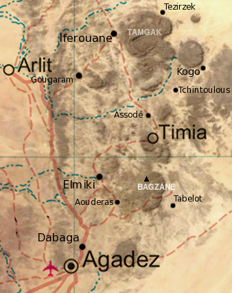
Map of the southern half of the Air Massif, northern Niger. Created from an overlay of PD File:Un-niger.png and PD File:Niger_BMNG.png, plus map locations derived from fallingrain.com.
Lizenz:
Public domain
Credit:
Bild teilen:


Relevante Artikel
AssodéAssodé war eine Stadt im Aïr-Gebirge, im Norden des heutigen Niger, etwa 30 km nordwestlich von Timia und etwa 100 km südöstlich von Iferouane. Die beiden Städte verbindet heute eine Autopiste. .. weiterlesen