20170721 Gotham Shield NYC Aerials-221 medium


Relevante Bilder
.jpg)


.jpg)


Relevante Artikel
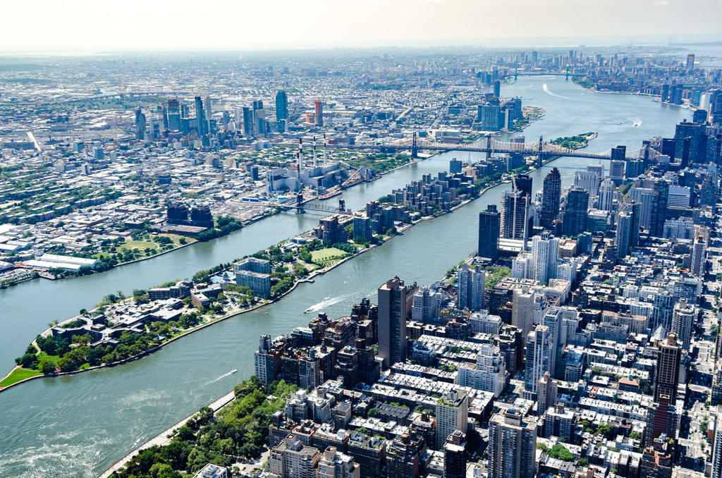
Liste der Inseln in New York CityDie Liste der Inseln in New York City nennt die Inseln innerhalb von New York City, getrennt nach den fünf Stadtbezirken (Boroughs). Dabei liegen vier der fünf Bezirke selbst nicht auf dem Festland. Brooklyn und Queens liegen größtenteils auf Long Island, Manhattan ist ebenfalls eine Insel. Nur der Stadtbezirk Bronx liegt nicht auf einer Insel. Mehr oder weniger große Inseln sind jedoch allen fünf Stadtbezirken zugeordnet. .. weiterlesen
Roosevelt Island (New York City)Roosevelt Island ist eine schmale, rund 60 Hektar große Insel in New York City. Die 3170 Meter lange Insel befindet sich im East River zwischen den Stadtbezirken Manhattan und Queens und trug ursprünglich den Algonkin-Namen Minnahannock, firmierte später als Blackwell’s Island und zwischen 1921 und 1973 als Welfare Island. .. weiterlesen