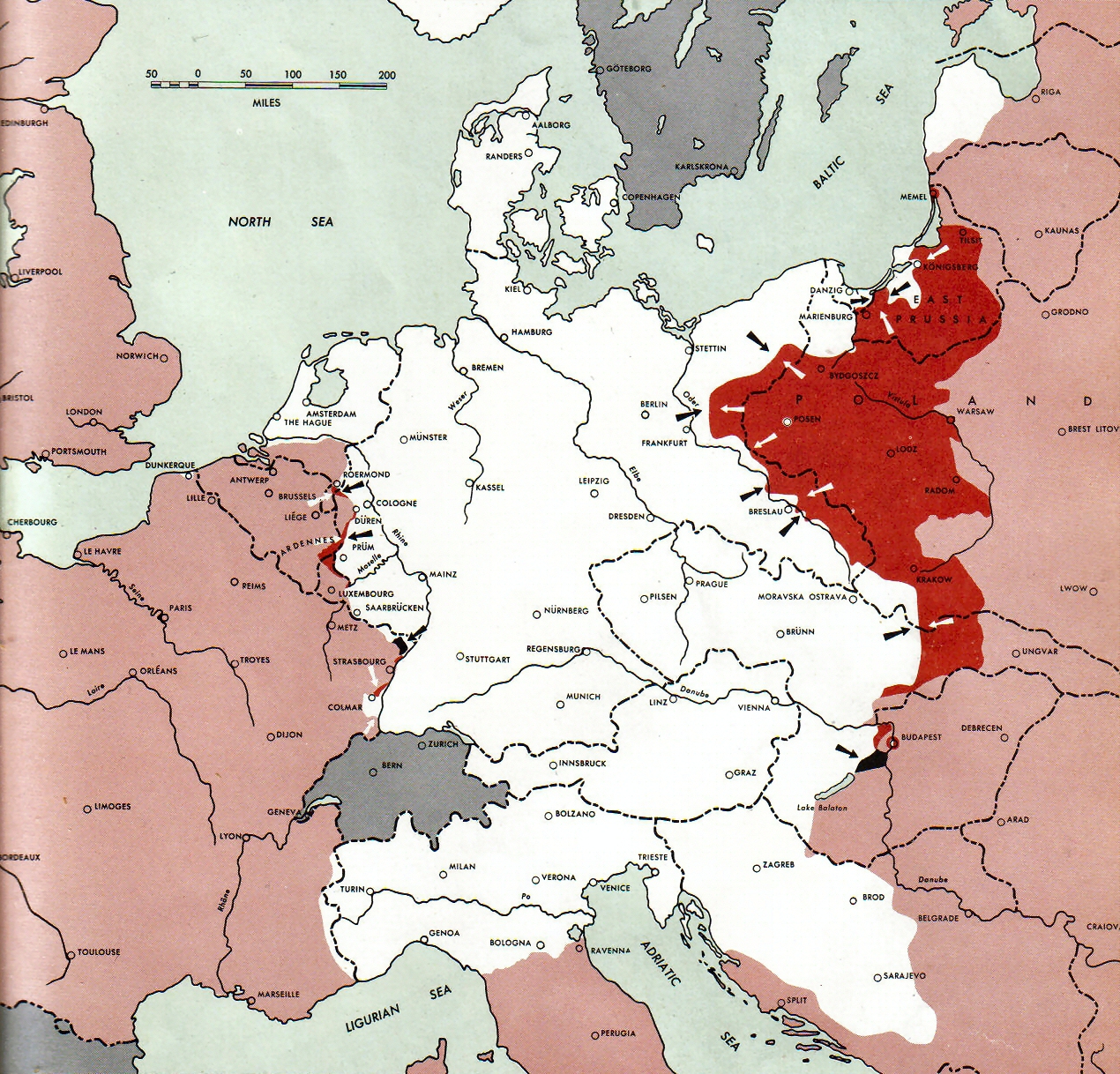
1945-02-01GerWW2BattlefrontAtlas
Autor/Urheber:
Army Map Service
Shortlink:
Quelle:
Größe:
1270 x 1218 Pixel (1308075 Bytes)
Beschreibung:
Neutral nations (Sweden, Switzerland, Spain, Andorra)
Under Allied control


July 1, 1943 to June 30 1945 To the Secretary of War". (See Cover, Foreword and Map details)

Kommentar zur Lizenz:
Public Domain: Work of US army
Lizenz:
Public domain
Credit:
Document "Atlas of the World Battle Fronts in Semimonthly Phases to August 15th 1945: Supplement to The Biennial report of the Chief of Staff of the United States Army July 1, 1943 to June 30 1945 To the Secretary of War"
Bild teilen:


Relevante Bilder


