Ziga-Stausee
| Ziga-Stausee | ||||||||||
|---|---|---|---|---|---|---|---|---|---|---|
| ||||||||||
| Koordinaten | 12° 29′ 30″ N, 1° 4′ 55″ W | |||||||||
| Daten zum Bauwerk | ||||||||||
| Kronenlänge: | 3000 m | |||||||||
| Daten zum Stausee | ||||||||||
| Stauseelänge | 32 km | |||||||||
| Stauseebreite | 6 km | |||||||||
| Gesamtstauraum: | 200 Millionen m³ | |||||||||
| Einzugsgebiet | 20.800 km² | |||||||||
Der Ziga-Stausee ist ein Stausee des Nakambé (Weißer Volta) in Burkina Faso.
Lage
Er ist einer von mehreren Stauseen im Volta Einzugsgebiet neben dem Bagré-Stausee und dem Kompienga-Stausee. Er liegt im westafrikanischen Staat Burkina Faso im nördlichen Volta-Becken in der Region Plateau Central Provinz Ganzourgou. Er fasst 200 Mio. m³ und staut mit einem nur wenige Meter hohen Staudamm den Nakambé, der sonst nur 3 Monate im Jahr Wasser führt.
Bau
Baubeginn war im Jahr 1998 und seit 2004 dient er der Wasserversorgung der knapp 50 km westlich gelegenen Hauptstadt Ouagadougou. Durch die Kosten von etwa 230 Mio. Euro ist der Stausee die größte jemals getätigte Investition in Burkina Faso.
Weblinks
- Artikel bei Radio France International (französisch)
Auf dieser Seite verwendete Medien
Autor/Urheber: Uwe Dedering, Lizenz: CC BY-SA 3.0
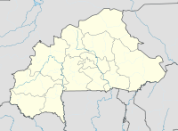
Location map of Burkina Faso Equirectangular projection. Strechted by 102%. Geographic limits of the map:
  * N: 15.5° N
  * S: 9° N
  * W: 6° W
  * E: 3° E
Made with Natural Earth. Free vector and raster map data @ naturalearthdata.com.
Die Flagge Burkina Fasos
Autor/Urheber: Uwe Dedering, Lizenz: CC BY-SA 3.0
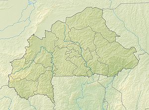
Location map of Burkina Faso Equirectangular projection. Strechted by 102%. Geographic limits of the map:
  * N: 15.5° N
  * S: 9° N
  * W: 6° W
  * E: 3° E
Made with Natural Earth. Free vector and raster map data @ naturalearthdata.com.


