Yule Bay
| Yule Bay | ||
|---|---|---|
| Gewässer | Somow-See | |
| Landmasse | Viktorialand, Ostantarktika | |
| Geographische Lage | 70° 44′ S, 166° 40′ O | |
| Breite | 11 km | |
| Inseln | Sentry Rocks, Unger Island | |
| Zuflüsse | Chapman-Gletscher, Fortenberry-Gletscher, O’Hara-Gletscher | |
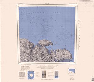
Karte der Pennell-Küste von 1968, Yule Bay in der Mitte der südlichen Kartenhälfte | ||
Die Yule Bay ist eine 11 km breite Bucht an der Pennell-Küste des nördlichen Viktorialands. Sie liegt etwa 29 km ostsüdöstlich des Cape North zwischen Kap Hooker und Kap Dayman. Der innere, d. h. westliche Teil der Bucht wird durch den Bates Point und den Ackroyd Point begrenzt.
Entdeckt wurde sie 1841 vom britischen Polarforscher James Clark Ross bei dessen Antarktisexpedition (1839–1843). Ross benannte die Bucht nach Henry Braddik Yule (1810–1899), Second Master auf dem Expeditionsschiff HMS Erebus.
Weblinks
- Yule Bay im Geographic Names Information System des United States Geological Survey (englisch)
- Yule Bay auf geographic.org (englisch)
Auf dieser Seite verwendete Medien
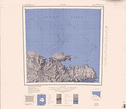
1:250,000-scale topographic reconnaissance map of the Yule Bay area from 165°-168°E to 70°-71°S in Antarctica. Mapped, edited and published by the U.S. Geological Survey in cooperation with the National Science Foundation.
Autor/Urheber: Alexrk2, Lizenz: CC BY-SA 3.0
Physische Positionskarte Antarktis, Mittabstandstreue Azimutalprojektion


