Turtle Mountain Indian Reservation

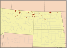
Turtle Mountain Indian Reservation ist eine Indianerreservation, die primär im US-Bundesstaat North Dakota liegt und als das am weitesten verstreut liegende Reservat der Vereinigten Staaten gilt.
Errichtet durch Executive Order des Präsidenten der Vereinigten Staaten am 21. Dezember 1882 im nördlichen Teil von Rolette County, North Dakota, wird das Reservat primär von Angehörigen der Stämme der Anishinabe bewohnt. Nach einer Volkszählung im Jahr 2010 bewohnten 5.815 Personen das eigentliche Reservat. Insgesamt zählte man 8.331 Bewohner. Der Sitz der Reservatsregierung befindet sich in Belcourt.[1]
Die eigentliche Reservation verfügt über große Off-reservation-trust-Landgebiete in South Dakota und besonders in Montana (insgesamt 175,04 km²) und grenzt dort im Norden an Kanada. Die gesamte Landfläche erstreckt sich über 3 Staaten in 15 verschiedenen Counties und verfügt über eine Fläche von 603,56 km².
Weblinks
- Turtle Mountain Agency (englisch)
- Offizielle Website der Reservats-Regierung (englisch)
Einzelnachweise
- ↑ Turtle Mountain Band of Chippewa Hwy. 5 West Belcourt, North Dakota 58316
Auf dieser Seite verwendete Medien
This is a locator map showing Phillips County in Montana. For more information, see Commons:United States county locator maps.
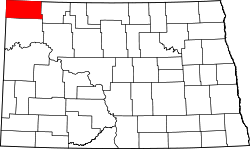
This is a locator map showing Divide County in North Dakota. For more information, see Commons:United States county locator maps.
Autor/Urheber: Kmusser, Lizenz: CC BY-SA 2.5
Map of the Turtle Mountain Indian Reservation in Montana & North Dakota.
This is a locator map showing Perkins County in South Dakota. For more information, see Commons:United States county locator maps.
This is a locator map showing McCone County in Montana. For more information, see Commons:United States county locator maps.
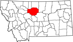
This is a locator map showing Blaine County in Montana. For more information, see Commons:United States county locator maps.
This is a locator map showing Cavalier County in North Dakota. For more information, see Commons:United States county locator maps.
This is a locator map showing Chouteau County in Montana. For more information, see Commons:United States county locator maps.
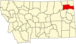
This is a locator map showing Roosevelt County in Montana. For more information, see Commons:United States county locator maps.
This is a locator map showing Valley County in Montana. For more information, see Commons:United States county locator maps.
This is a locator map showing Mountrail County in North Dakota. For more information, see Commons:United States county locator maps.
This is a locator map showing Burke County in North Dakota. For more information, see Commons:United States county locator maps.
This is a locator map showing Daniels County in Montana. For more information, see Commons:United States county locator maps.
This is a locator map showing McLean County in North Dakota. For more information, see Commons:United States county locator maps.
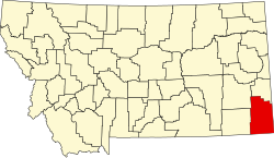
This is a locator map showing Carter County in Montana. For more information, see Commons:United States county locator maps.

