Tillicoultry
| Tillicoultry | ||
|---|---|---|
(c) Callum Black, CC BY-SA 2.0 | ||
| Koordinaten | 56° 9′ N, 3° 44′ W | |
| Traditionelle Grafschaft | Clackmannanshire | |
| Einwohner | 5120 Zensus 2011 | |
| Verwaltung | ||
| Post town | TILLICOULTRY | |
| Postleitzahlenabschnitt | FK13 | |
| Vorwahl | 01259 | |
| Landesteil | Schottland | |
| Council area | Clackmannanshire | |
| Britisches Parlament | Ochil and South Perthshire | |
| Schottisches Parlament | Clackmannanshire and Dunblane | |
Tillicoultry (schottisch-gälisch Tulach Cultraidh) ist eine Stadt in der schottischen Council Area Clackmannanshire. Sie ist etwa fünf Kilometer nordöstlich von Alloa und 13 km ostsüdöstlich von Dunblane am Fuß der Ochil Hills gelegen und gehört zu den Hillfoots Villages. Der Forth fließt wenige Kilometer, der Devon wenige Hundert Meter südlich. Tillicoultry ist durch die A91 an das Straßennetz angeschlossen. Im Jahre 2011 verzeichnete Alva 5120 Einwohner[1].
Geschichte
Historisch war die Textilherstellung ein bedeutender Wirtschaftszweig in Tillicoultry und trug wesentlich zu seiner Entwicklung bei. Hierbei nutzten die Betriebe die zahlreichen Gebirgsbäche entlang der Hänge der Ochils zur Energieerzeugung. So wurden dort seit dem 16. Jahrhundert Tweed, Tartans und Strickwaren produziert. In den 1880er Jahren wurden 18 textilverarbeitende Betriebe in Tillicoultry gezählt.[2][3][4] Heute ist Tillicoultry eine Pendlergemeinde.[4]
- (c) Callum Black, CC BY-SA 2.0
Steinbruch in Tillicoultry
- (c) Callum Black, CC BY-SA 2.0
Brücke über eine Schlucht bei Tillicoultry
Siehe auch
- Liste der Listed Buildings in Tillicoultry
Weblinks
- Bildmaterial zu Tillicoultry
- Eintrag zu Tillicoultry in Canmore, der Datenbank von Historic Environment Scotland (englisch).
Einzelnachweise
- ↑ Zensus 2011
- ↑ Tillicoultry. In: Francis H. Groome: Ordnance Gazetteer of Scotland: A Survey of Scottish Topography, Statistical, Biographical and Historical. Band 6: (Pet – Zet). Thomas C. Jack, Grange Publishing Works, Edinburgh u. a. 1885, S. 440–441.
- ↑ Josephine Buchanan: Scotland (= Insight Guides.). 4th edition, updated. APA Publications, Singapore 2003, ISBN 981-234-950-2, S. 264.
- ↑ a b Tillicoultry. Clackmannanshire. In: David Munro, Bruce Gittings: Scotland. An Encyclopedia of Places & Landscapes. Collins u. a., Glasgow 2006, ISBN 0-00-472466-6.
Auf dieser Seite verwendete Medien
(c) Eric Gaba, NordNordWest, CC BY-SA 3.0
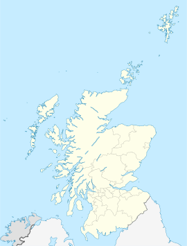
Positionskarte von Schottland, Vereinigtes Königreich
(c) Callum Black, CC BY-SA 2.0
Bridge, Mill Glen One of several bridges over the impressive, steeply-sided Mill Glen.
(c) Callum Black, CC BY-SA 2.0
Quarry Disused quarry by Tillicoultry. There is a good view into the quarry from the Mill Glen path.
map of Tillicoultry 1 inch to the mile scale scanned at 600 DPI
(c) Callum Black, CC BY-SA 2.0
Ochil Street, Tillicoultry Viewed from the path above the Mill Glen.


