Swobodny (Adygeja)
| Dorf Swobodny Свободный
| ||||||||||||||||||
| ||||||||||||||||||
| ||||||||||||||||||
Swobodny (russisch Свободный) ist ein Dorf (posjolok) in Südrussland. Es gehört zur Adygeja und hat 9 Einwohner (Stand 2019).[1] Im Ort gibt es 5 Straßen.[2] Das Dorf wurde 1902 gegründet.
Geographie
Das Dorf liegt 7 km nordöstlich des Dorfes Krasnogwardeiskoje an der Küste des Krasnodar-Stausees des Flusses Kuban.
Einzelnachweise
- ↑ Численность постоянного населения по МО и населенным пунктам Республики Адыгея по состоянию на 1 января 2019 года
- ↑ Карта поселка Свободный в Республике Адыгее
Auf dieser Seite verwendete Medien
Autor/Urheber: Uwe Dedering, Lizenz: CC BY-SA 3.0
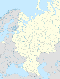
Location map of European_Russia.
- Projection: Lambert azimuthal equal-area projection.
- Area of interest:
- N: 75.0° N
- S: 40.0° N
- W: 25.0° E
- E: 60.0° E
- Projection center:
- NS: 57.5° N
- WE: 42.5° E
- GMT projection: -JA42.5/57.5/20c
- GMT region: -R25.450860698632475/38.37411418933942/86.79037939442836/70.79910933370674r
- GMT region for grdcut: -R-2.0/38.0/87.0/76.0r
- Made with Natural Earth. Free vector and raster map data @ naturalearthdata.com.
Autor/Urheber: Nzeemin, Lizenz: CC BY-SA 2.0
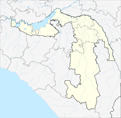
Административная карта Адыгеи, Россия.
- Координаты для GMT: -R38.45983/40.89972/43.644017/45.333825
- Инструменты: GMT, Inkscape


