Saint-Pandelon
| Saint-Pandelon Sent Pandelon | ||
|---|---|---|
| ||
| Staat | ||
| Region | Nouvelle-Aquitaine | |
| Département (Nr.) | Landes (40) | |
| Arrondissement | Dax | |
| Kanton | Dax-2 | |
| Gemeindeverband | Grand Dax | |
| Koordinaten | 43° 40′ N, 1° 2′ W | |
| Höhe | 1–61 m | |
| Fläche | 9,18 km² | |
| Einwohner | 728 (1. Januar 2022) | |
| Bevölkerungsdichte | 79 Einw./km² | |
| Postleitzahl | 40180 | |
| INSEE-Code | 40277 | |
| Website | https://www.saint-pandelon.fr/ | |
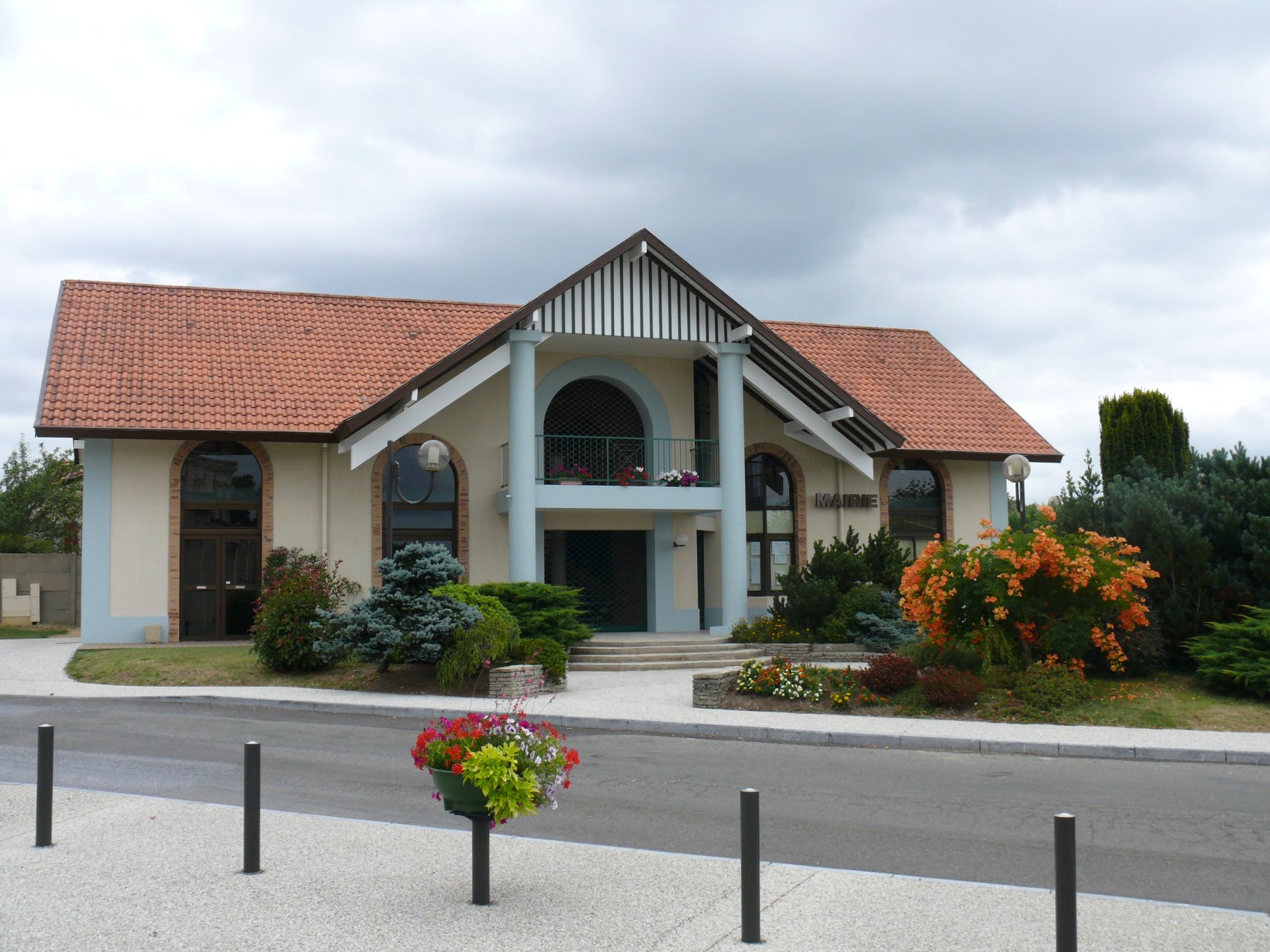
 Rathaus (Mairie) von Saint-Pandelon | ||
Saint-Pandelon (okzitanisch: Sent Pandelon) ist eine französische Gemeinde mit 728 Einwohnern (Stand: 1. Januar 2022) im Département Landes in der Region Nouvelle-Aquitaine. Sie gehört zum Arrondissement Dax und zum Kanton Dax-2. Die Einwohner werden Saint-Pandelonnais genannt.
Geografie
Die Gemeinde Saint-Pandelon liegt etwa vier Kilometer südsüdöstlich des Stadtzentrums von Dax in der Landschaft Marensin. Der Fluss Luy begrenzt die Gemeinde im Norden. Umgeben wird Saint-Pandelon von den Nachbargemeinden Dax im Norden, Narrosse im Nordosten, Saugnac-et-Cambran im Osten, Bénesse-lès-Dax im Süden, Heugas im Südwesten, Oeyreluy im Westen sowie Seyresse im Nordwesten.
Die Gemeinde liegt am Jakobsweg (Via Turonensis).
Bevölkerungsentwicklung
| Jahr | 1962 | 1968 | 1975 | 1982 | 1990 | 1999 | 2006 | 2013 | 2021 |
|---|---|---|---|---|---|---|---|---|---|
| Einwohner | 521 | 523 | 574 | 600 | 627 | 667 | 736 | 704 | 709 |
| Quellen: Cassini und INSEE | |||||||||
Sehenswürdigkeiten
- Kirche Saint-Pantaléon-et-Saint-Barthélemy, wieder errichtet im 19. Jahrhundert
- Schloss Ducros, früher bischöfliche Residenz
- Schloss Hercular
- Schloss Haubardin, im 17./18. Jahrhundert erbaut
- Schloss Laureta
- Schloss Herran
 Kirche Saint-Pantaléon-et-Saint-Barthélemy
 Gefallenendenkmal
Gemeindepartnerschaft
Mit der französischen Gemeinde Saint-Maxire im Département Deux-Sèvres besteht seit 2013 eine Partnerschaft.
Weblinks
Auf dieser Seite verwendete Medien

(c) Karte: NordNordWest, Lizenz: Creative Commons by-sa-3.0 de
Positionskarte von Frankreich mit Regionen und Départements

Autor/Urheber:
| This illustration was made by Peter Potrowl.
Please credit this with : © Peter Potrowl in the immediate vicinity of the image. A link to my website sitemai.eu would be much appreciated but isn't mandatory. An email to
Do not copy this image illegally by ignoring the terms of the license below, as it is not in the public domain.
If you would like special permission to use, license, or purchase the image please contact me More free pictures in my website. Donations are accepted here and here. |
The townhall of Saint-Pandelon (Landes, Pyrénées-Atlantiques, France).

Autor/Urheber:
| This illustration was made by Peter Potrowl.
Please credit this with : © Peter Potrowl in the immediate vicinity of the image. A link to my website sitemai.eu would be much appreciated but isn't mandatory. An email to
Do not copy this image illegally by ignoring the terms of the license below, as it is not in the public domain.
If you would like special permission to use, license, or purchase the image please contact me More free pictures in my website. Donations are accepted here and here. |
The memorial of Saint-Pandelon (Landes, Pyrénées-Atlantiques, France).

Autor/Urheber:
| This illustration was made by Peter Potrowl.
Please credit this with : © Peter Potrowl in the immediate vicinity of the image. A link to my website sitemai.eu would be much appreciated but isn't mandatory. An email to
Do not copy this image illegally by ignoring the terms of the license below, as it is not in the public domain.
If you would like special permission to use, license, or purchase the image please contact me More free pictures in my website. Donations are accepted here and here. |
Saint-Pantaléon-and-Saint-Barthélémy's church of Saint-Pandelon (Landes, Aquitaine, France).