Rothwell (Northamptonshire)
| Rothwell | ||
|---|---|---|
(c) Roger Tarbox, CC BY-SA 2.0 | ||
| Koordinaten | 52° 25′ N, 0° 49′ W | |
| Traditionelle Grafschaft | Northamptonshire | |
| Einwohner | 7694 (Stand: 2011) | |
| Verwaltung | ||
| Landesteil | England | |
| Region | East Midlands | |
| Unitary authority | North Northamptonshire | |
| Civil Parish | Rothwell | |
| Website: http://www.rothwelltown.co.uk/ | ||
Rothwell ist eine Stadt und eine Verwaltungseinheit in der Unitary Authority North Northamptonshire in England. Rothwell ist 20,9 km von Northampton entfernt.[1] Im Jahr 2011 hatte es eine Bevölkerung von 7694.[2] Rothwell wurde 1086 im Domesday Book als Rodewelle erwähnt.[3]
Einzelnachweise
- ↑ GENUKI: Distance from ROTHWELL [SP810810]. Abgerufen am 3. April 2017 (englisch).
- ↑ Office for National Statistics: Area: Rothwell (Parish). Neighbourhood Statistics, abgerufen am 3. April 2017 (englisch).
- ↑ The Domesday Book Online: Northamptonshire Q-Z. Abgerufen am 3. April 2017 (englisch).
Auf dieser Seite verwendete Medien
(c) Roger Tarbox, CC BY-SA 2.0
Gladstone Street, Rothwell, Northants Looking south with Victorian part of Rothwell Junior School on left hand side. Rothwell Rifle and Band Club building (recently demolished) can be seen at lower end of street on left.
Autor/Urheber:
- United Kingdom location map.svg: NordNordWest
- England Regions - Blank.svg: Ch1902
- Northern Ireland location map.svg: NordNordWest
- Europe laea location map.svg: Alexrk2
- Spischot
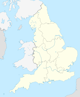
Positionskarte von England


