Portal:Inseln
| Portal: Übersicht | Neue Artikel | Kategorien und Listen | Mitmachen |
Inseln, Archipele und Atolle und Halbinseln |  |
Auf dieser Seite verwendete Medien
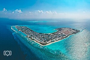
Ha. Dhidhdhoo, Capital of ha.Atoll.jpg
Autor/Urheber: Knowledge mv, Lizenz: CC BY-SA 4.0
Images from Ha. Dhidhdhoo
Autor/Urheber: Knowledge mv, Lizenz: CC BY-SA 4.0
Images from Ha. Dhidhdhoo
Atol das Rocas ISS007.jpg
NASA-Astronautenbild des Rocas-Atolls (Brasilien) im Atlantik
NASA-Astronautenbild des Rocas-Atolls (Brasilien) im Atlantik
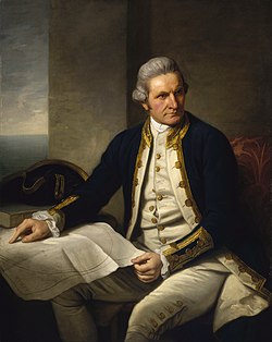
Captainjamescookportrait.jpg
1776: James Cook
1776: James Cook
Ostfriesische-Inseln 2.jpg
Satellitenaufnahme von den Ostfriesischen Inseln
Satellitenaufnahme von den Ostfriesischen Inseln
Pratas Island ISS004-10210.jpg
Dongsha (Pratas) Island seen from space on April 21, 2002, taken by crew of Expedition 4 on International Space Station from orbit.
Dongsha (Pratas) Island seen from space on April 21, 2002, taken by crew of Expedition 4 on International Space Station from orbit.
Clippertonisland.jpg
Palmen auf der Clipperton-Insel im Pazifischen Ozean
Palmen auf der Clipperton-Insel im Pazifischen Ozean
Monte Isola.jpg
(c) A., CC BY-SA 3.0
Monte Isola, von der Sebina Occidentale aus fotografiert (selbst fotografiert)
(c) A., CC BY-SA 3.0
Monte Isola, von der Sebina Occidentale aus fotografiert (selbst fotografiert)
Port Lockroy, Wiencke Island, Antarctica.jpg
Autor/Urheber: Liam Quinn, Lizenz: CC BY-SA 2.0
British Base A can be seen in the centre. Quark Expeditions' Sea Spirit is at right.
Autor/Urheber: Liam Quinn, Lizenz: CC BY-SA 2.0
British Base A can be seen in the centre. Quark Expeditions' Sea Spirit is at right.
Heard Island.jpg
Heard Island
Heard Island
NASA Aldabra Atoll.jpg
NASA-Astronautenbild des Aldabra-Atolls (Seychellen) im Indischen Ozean
NASA-Astronautenbild des Aldabra-Atolls (Seychellen) im Indischen Ozean
Bouvet island 0.jpg
Südostküste der Bouvetinsel bei Sonnenaufgang in 8 Seemeilen Entfernung. Handkolorierte Schwarzweiß-Fotografie. Fotografiert auf der Valdivia-Expedition.
Südostküste der Bouvetinsel bei Sonnenaufgang in 8 Seemeilen Entfernung. Handkolorierte Schwarzweiß-Fotografie. Fotografiert auf der Valdivia-Expedition.
Galapagos-satellite-2002.jpg
This true-color image of the Galapagos Islands was acquired on March 12, 2002, by the Moderate-resolution Imaging Spectroradiometer (MODIS), flying aboard NASA's Terra satellite. The Galapagos Islands, which are part of Ecuador, sit in the Pacific Ocean about 1000 km (620 miles) west of South America. As the three craters on the largest island (Isabela Island) suggest, the archipelago was created by volcanic eruptions, which took place millions of years ago.
This true-color image of the Galapagos Islands was acquired on March 12, 2002, by the Moderate-resolution Imaging Spectroradiometer (MODIS), flying aboard NASA's Terra satellite. The Galapagos Islands, which are part of Ecuador, sit in the Pacific Ocean about 1000 km (620 miles) west of South America. As the three craters on the largest island (Isabela Island) suggest, the archipelago was created by volcanic eruptions, which took place millions of years ago.
Bell Island Newfoundland.jpg
Autor/Urheber: Die Autorenschaft wurde nicht in einer maschinell lesbaren Form angegeben. Es wird TOlivero als Autor angenommen (basierend auf den Rechteinhaber-Angaben)., Lizenz: CC BY-SA 3.0
Bell Island, Newfoundland
Autor/Urheber: Die Autorenschaft wurde nicht in einer maschinell lesbaren Form angegeben. Es wird TOlivero als Autor angenommen (basierend auf den Rechteinhaber-Angaben)., Lizenz: CC BY-SA 3.0
Bell Island, Newfoundland
Langlütjen II (Insel) 2013-05-03-DSCF7456.jpg
(c) Foto: Martina Nolte, Lizenz: Creative Commons by-sa-3.0 de
Insel Langlütjen II, künstlich angelegte Insel in der Wesermündung (Fotoflug von Nordholz-Spieka nach Oldenburg und Papenburg)
(c) Foto: Martina Nolte, Lizenz: Creative Commons by-sa-3.0 de
Insel Langlütjen II, künstlich angelegte Insel in der Wesermündung (Fotoflug von Nordholz-Spieka nach Oldenburg und Papenburg)
NASA-MaldenIsland.jpg
NASA-Astronautenbild der Insel Malden (Kiribati) im Pazifischen Ozean
NASA-Astronautenbild der Insel Malden (Kiribati) im Pazifischen Ozean
Madagaskar.jpg
Madagaskar
Madagaskar
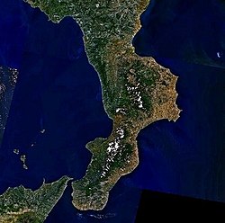
Calabria.jpg
Calabria, an Italian region
Calabria, an Italian region
Tremiti panoramica.jpg
Panorama of Tremiti Islands, Italy
Panorama of Tremiti Islands, Italy
Aulon arch Sugarloaf.JPG
Autor/Urheber: Duncan Wright, Lizenz: CC BY-SA 3.0
Aulon Island, Aulon Arch, Arch Rock, Sugarloaf, off the Farallon Islands, California.
Autor/Urheber: Duncan Wright, Lizenz: CC BY-SA 3.0
Aulon Island, Aulon Arch, Arch Rock, Sugarloaf, off the Farallon Islands, California.
Strombolicchio2.jpg
Autor/Urheber: Giovanni from Catania, Sicily, Lizenz: CC BY-SA 2.0
L'isola di Strombolicchio.
Autor/Urheber: Giovanni from Catania, Sicily, Lizenz: CC BY-SA 2.0
L'isola di Strombolicchio.


