Piton (Mauritius)
Koordinaten: 20° 6′ S, 57° 38′ O
Piton ist eine Ortschaft (village) auf Mauritius.
Der Ostteil von Piton gehört zum Distrikt Rivière du Rempart, der Westteil liegt im Distrikt Pamplemousses. Bei der Volkszählung 2011 hatte der Ort 4.942 Einwohner (davon 1.535 im Distrikt Pampelmousses und 3.407 im Distrikt Rivière du Rempart).[1]
Historisch ist Piton vor allem für die Zuckerfabrik Bon Séjour bekannt, die mit einer Produktion von 5.800 Tonnen eine der größten der Insel war. Am 18. September 1882 kam es hier zu einer Explosion, die 12 Todesopfer forderte.
Das Prof B.S Upadhyaya Training Centre ist eine Schule für Elektromechaniker. Daneben befindet sich die Piton State College als weitere weiterführende Schule vor Ort.
Die Kapelle Chapelle Notre-Dame-de-l’Espérance in Piton gehört zur Pfarrei Cœur-Immaculé-de-Marie in Rivière du Rempart.[2]
Literatur
- Benjamin Moutou: Pamplemousses - Rivière du Rempart - Quatre siècles d’histoire, 2006, ISBN 978-99903-992-9-5, S. 312–315
Einzelnachweise
- ↑ Statistics Mauritius: Housing and population census 2011, Volume II: Demographic and fertility characteristics, S. 71, statsmauritius.govmu.org (PDF): die Werte für beide Distrikte müssen addiert werden.
- ↑ Website der Pfarrei ( des vom 2. Mai 2021 im Internet Archive) Info: Der Archivlink wurde automatisch eingesetzt und noch nicht geprüft. Bitte prüfe Original- und Archivlink gemäß Anleitung und entferne dann diesen Hinweis.
Auf dieser Seite verwendete Medien
Autor/Urheber: Yashveer Poonit, Lizenz: CC BY-SA 3.0
The armorial ensigns and supporters of Mauritius are described as:
(a) for arms-
- Quarterly azure and or.
- In the first quarter a lymphad or.
- In the second, 3 palm trees vert.
- In the third, a key in pale the wards downwards gules.
- In the issuant, from the base a pile, and in chief a mullet argent.
(b) for the supporters-
- On the dexter side, a dodo per bend sinister embattled gules and argent, and
- On the sinister side, a sambur deer per bend embattled argent and gules, each supporting a sugar cane erect proper,
(c) Uwe Dedering in der Wikipedia auf Deutsch, CC BY-SA 3.0
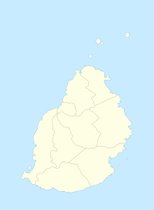
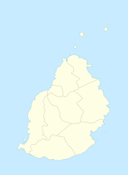
Location map of Mauritius
Equirectangular projection. Stretched by 106.0%. Geographic limits of the map:
- N: -19.7° N
- S: -20.6° N
- W: 57.21° E
- E: 57.91° E


